Modernization of technical infrastructure is a critical task for organizations across various sectors, especially including energy, petrochemical, chemical, food and beverage, pharmaceutical and many more. Whether it’s updating aging facilities, improving transportation networks, or enhancing utility systems, the goal is to optimize performance, safety, and efficiency. One powerful tool that can significantly impact infrastructure modernization is 3D scanning and the utilization of point cloud software. In this extended article, we’ll explore how these technologies can help decrease costs while improving modernisation project outcomes.
Understanding why 3D Scanning and Point Clouds means so much for modernisation projects.
You can ask, what really are a point clouds and why it can be so impactful ? Point clouds are dense sets of 3D data points that represent the surfaces of physical objects or environments. These data points are generated by 3D laser scanners, drones, or photogrammetry techniques. Each point in the cloud corresponds to a specific location in 3D space.
Main benefits of using point clouds of technical infrastructure like piping, valves, pumps, tanks and other objects are: accurate representation which means that point clouds provide a precise representation of the scanned object or area, capturing intricate details. They include complex geometries, surface irregularities, and structural features. Scanning doesn’t require physical contact with the object, minimizing disruption during data collection. Point clouds serve various purposes, from visualization and analysis to design validation.
Reducing costs through point cloud sharing software:
Efficient Data Sharing and Processing through dedicated software tools and services allows reduce time spent by company technical, procurement and maintenance teams on non-value added activities related to preparation for modernisation project, especially:
- Reducing project site survey time and mobilization for contractors
- Reducing the time spent on site surveys for company technical, production, and maintenance team
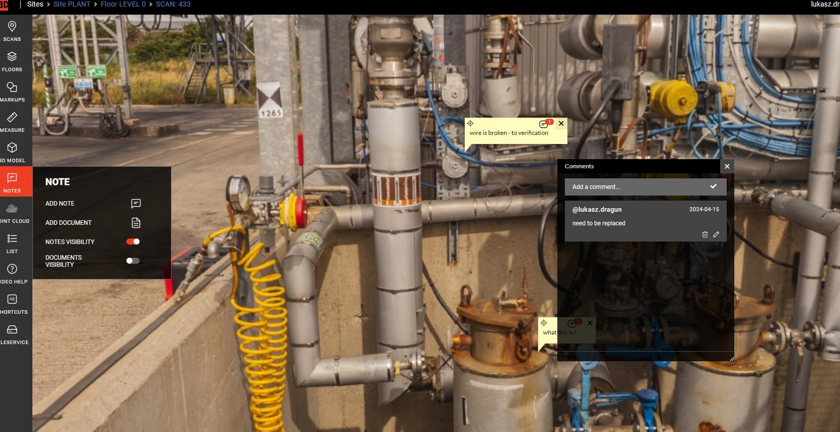
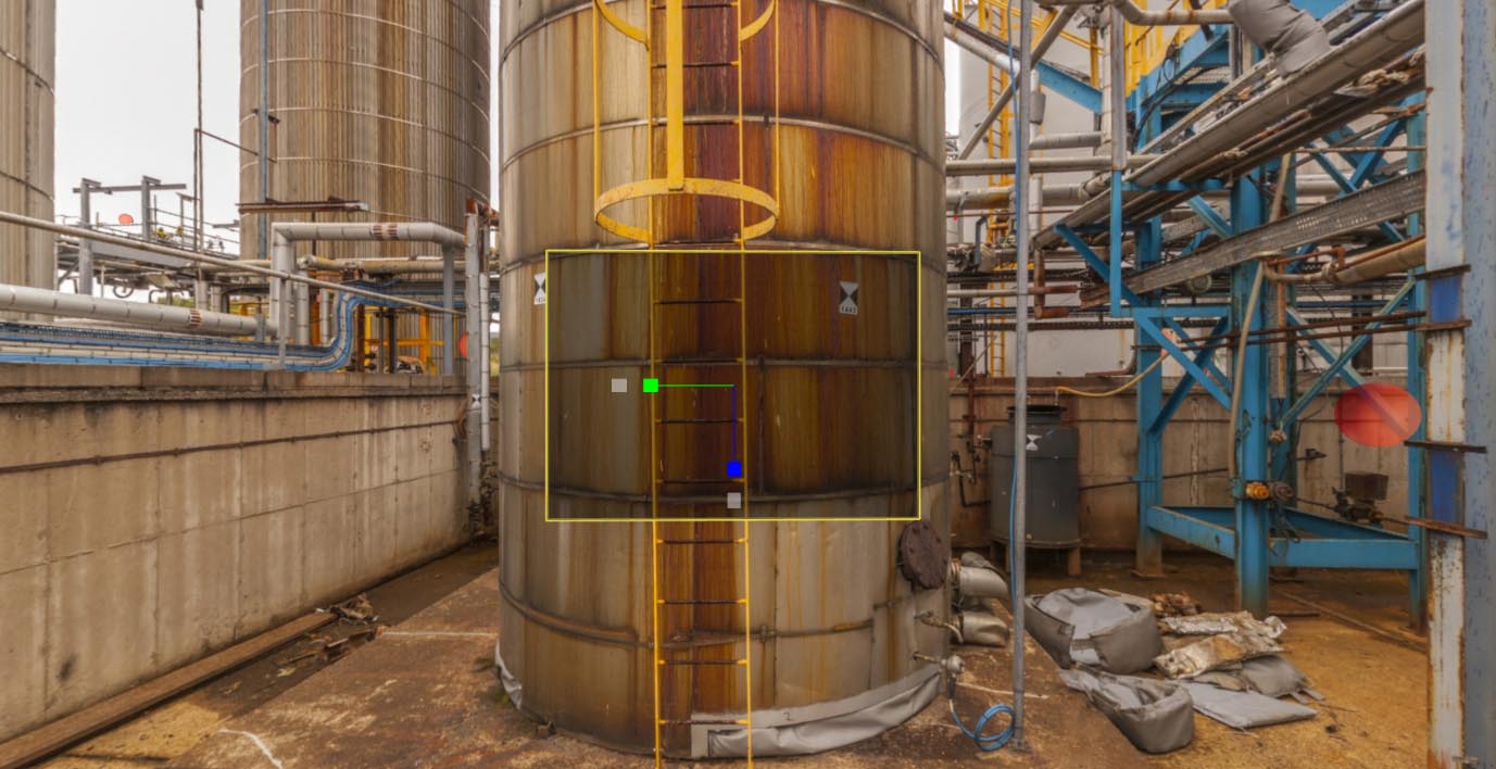
Webpano, is a great example a custom web-based service by 3Deling, streamlines point cloud processing, visualization, and sharing. It allows users to view 360-degree panoramic images and scan data. Unique features include the ability to take measurements and pick 3D coordinate values.
WebPano also enables viewing 3D models along with their attributes. Designed for communication between managers and engineers, it eliminates unnecessary site visits. “When we spent 2 hours / visit with supplier it means that during the year we can save even 200 hours and it is only one example of many” – says project engineer from chemical company.
Collaborative Workflows for improvement and project safety
Dedicated tool facilitates collaboration among project stakeholders.
Managers and engineers can add comments or highlight areas of interest.
The entire team can view, check, and discuss site situations remotely. In means streamline informed choices, very well known as:
- Facilitate effective decision making.
This also means that Inexperienced users benefit from 3D laser scanning technology without physical presence. Managers can make faster and more accurate decisions based on panorama view and graphical interpretation and simulation of planned objects on technical infrastructure.
It is very helpful to visualize where new object ned to be placed, what are potential problems occurred and discuss that with construction design and contractor companies.
Risk Analysis and Asset Inventory
How does risk analysis during modernization projects can be better assisted? By visualizing potential risks that threaten operational continuity. Engineers can indicate areas and objects requiring special care and procedures. Having all geometrical data, shared with designers and contractors it can be easily recognized and possibility of any geometrical clashes can be avoided. Some clients named it also as Engineering design accuracy and elimination of re-work.
When modernization is complete and new technical infrastructure has been implemented and launched, and then asset Inventory becomes increasingly important. It allows for easy linking of facility devices and objects to geolocation and documentation. Advanced users can say about Building a knowledge base accessible to new employees facilitates efficient adaptation.
Process maintenance and improvement
There are many places in industry environment which requires special permissions and safety issues to get in. Webpano allows remote access to field locations through 360-degree panoramic images. Personnel can virtually inspect equipment, pipelines, and facilities without physically being present on-site. This reduces the need for frequent field visits, minimizing exposure to hazardous environments. Because of that we can Improve process safety by minimizing personnel presence in the field. This Virtual plant tour for new commers and guests is also can be an important from safety and time saving point of view.
A lack of reliable data often leads to improper preventive measures and unplanned maintenance.
Implement a digital platform that allows maintenance teams to log and sort historical data for assets. Having an overview of maintenance activities for an asset’s entire life enables managers and technicians to fine-tune their approach to preventive maintenance. Effective triggers and prominent issue flagging can increase asset efficiency and reduce downtime from breakdowns. It can also be helpful to plan a maintenance check route effectively for maintenance team. Quick information about locations and devices that need to be verified is a helpful to save its preparation time and check time by finding the optimal route. We can say generally about Reducing a Maintenance Team time to plan for activities.
Remember, successful modernization involves not only technology adoption but also effective change management. By harnessing point cloud software like WebPano, organizations can optimize processes, enhance collaboration, and ultimately reduce costs. So, let’s scan, visualize, and transform our infrastructure for a brighter future!


