LOCATION
Wieliczka Salt Mine, Poland
SURVEYING EQUIPMENT
Scanner Riegl VZ-400, Faro LS 880, Leica TCRA 1101 plus Total Station
TOTAL TIME SPENT
8 days onsite 2 persons team, 40 days data processing
FINAL PRODUCT
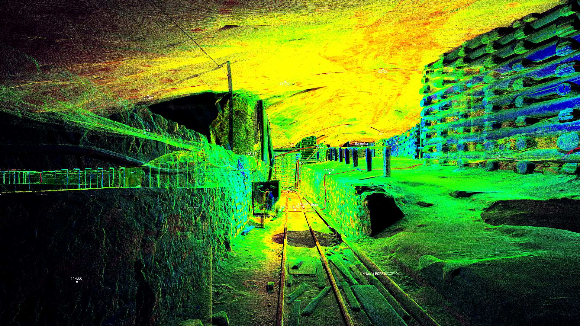
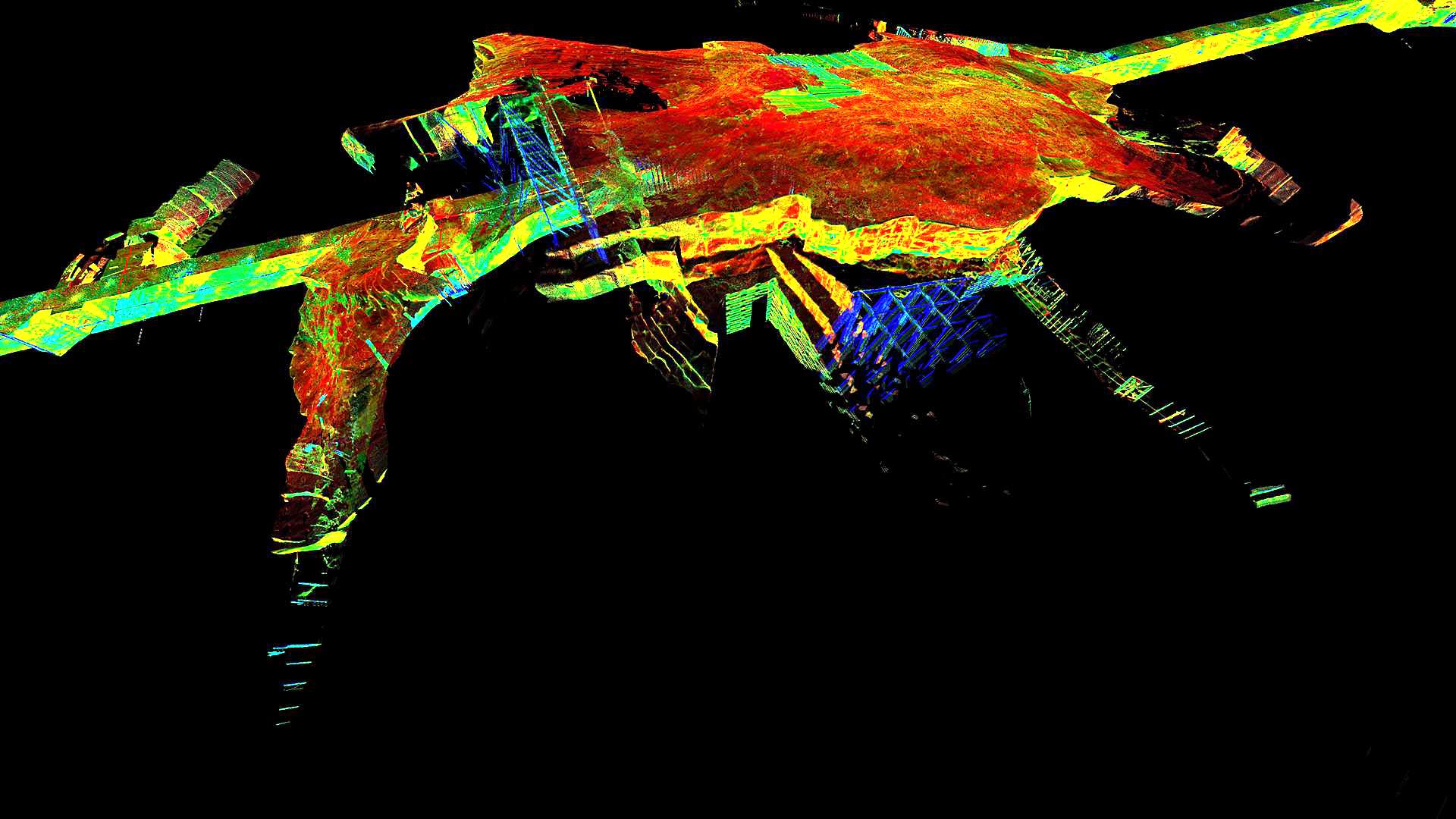
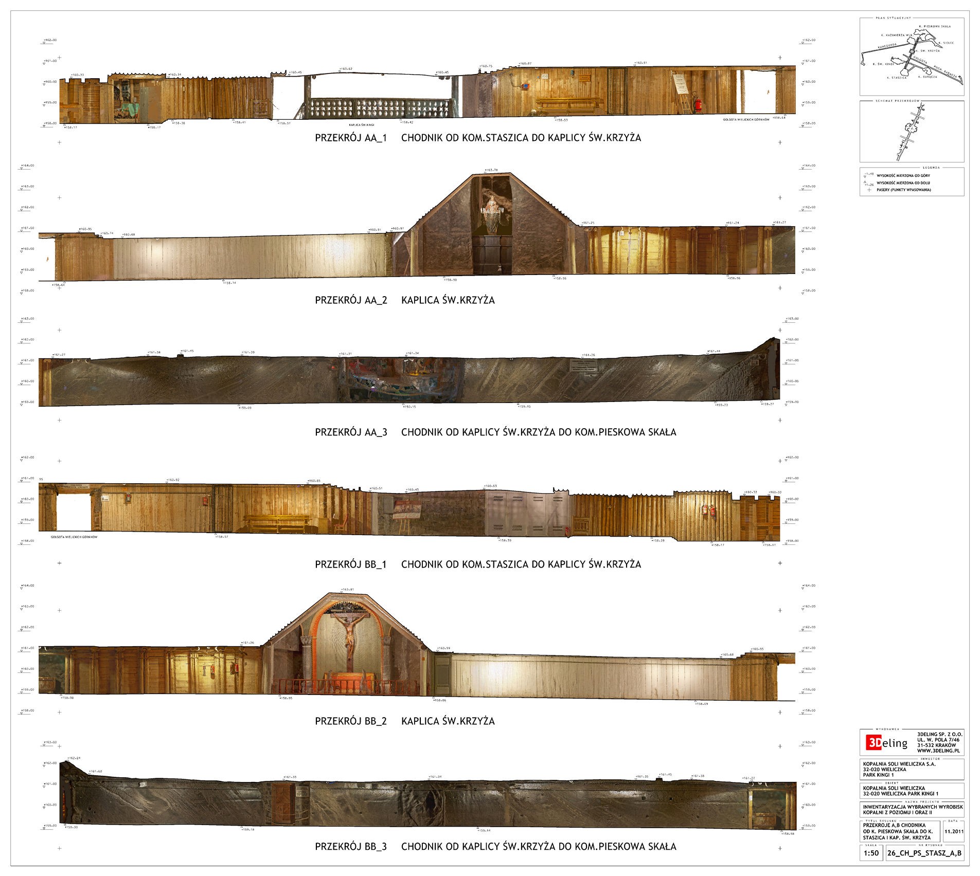
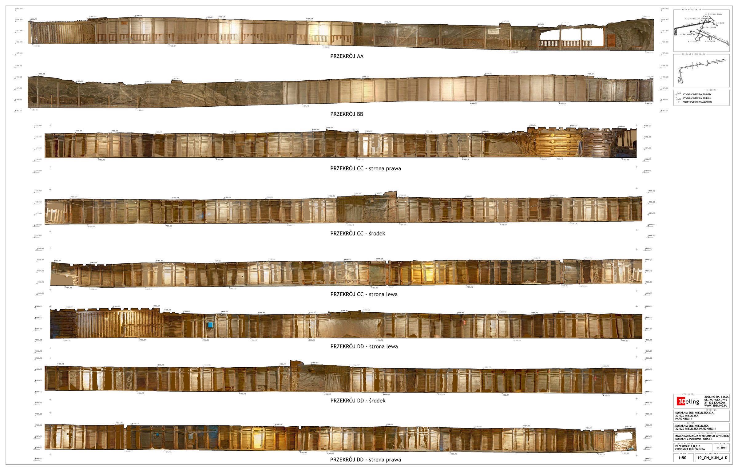
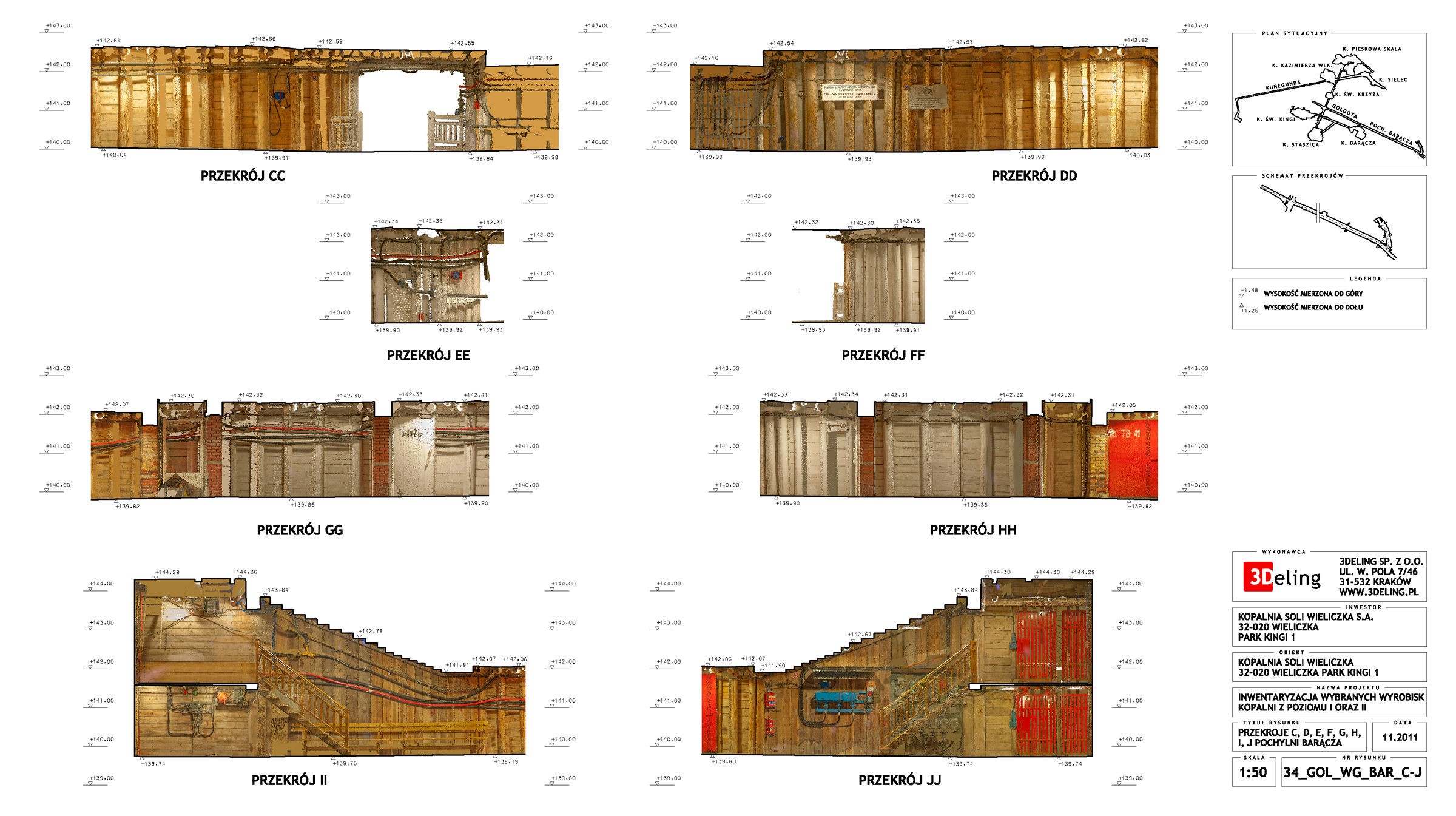
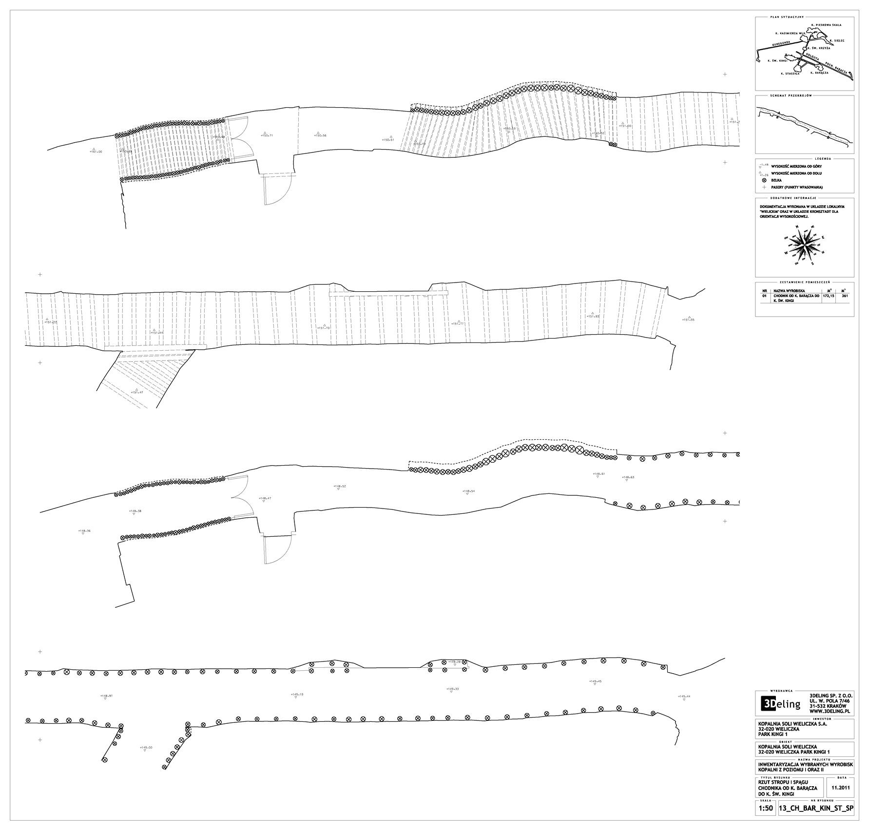
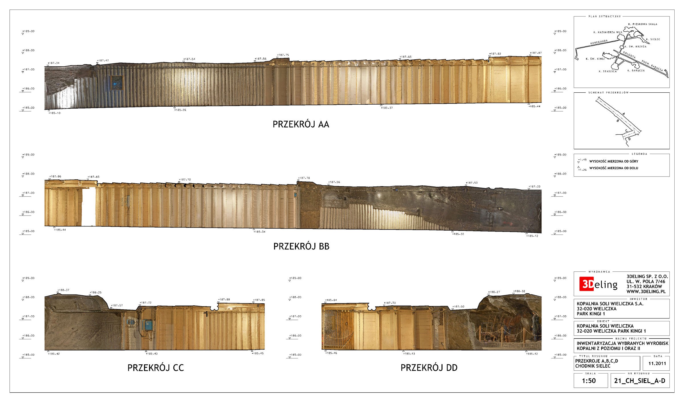
Registered point cloud, Truview, CAD drawings, orthoimages
3D Laser scanning in salt mines in Wieliczka
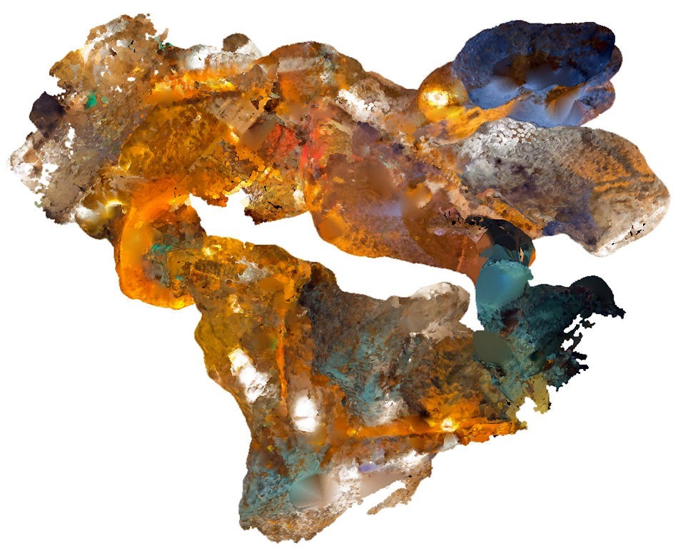
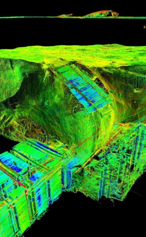
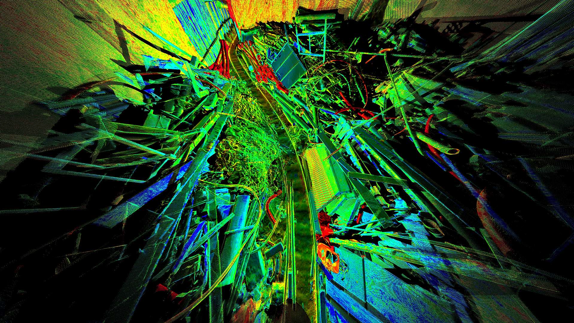
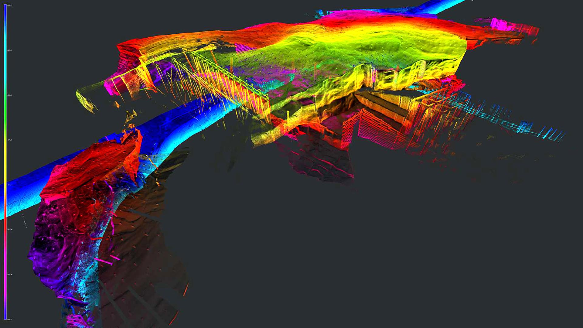
The administrators of the Wieliczka Salt Mines (A UNESCO World Heritage Site) commissioned this laser scanning pilot project. The main objective of this project was to determine the feasibility of utilising laser scan technology to aid with the ongoing maintenance works within the mine.
The project concentrated on underground corridors and chambers, both on and off the tourist route. The majority of the works were completed at night when the mine was closed to the public. Due to the poor lighting within the mine capturing photography suitable for the production of RGB point cloud information was particularly challenging on this project.
The client was also looking for the point cloud information captured to provide a base dataset for deformation monitoring where the scanning could be repeated over time. Cloud to cloud analysis can then be carried out to determine movement.
Further to the survey information, a 3D Stereo movie was also produced for the whole of the point cloud for marketing purposes. The movie allows the viewer to quickly visualise the layout of the mine which is difficult in a real-world situation.
Categories:

