LOCATION
Reserved
SURVEYING EQUIPMENT
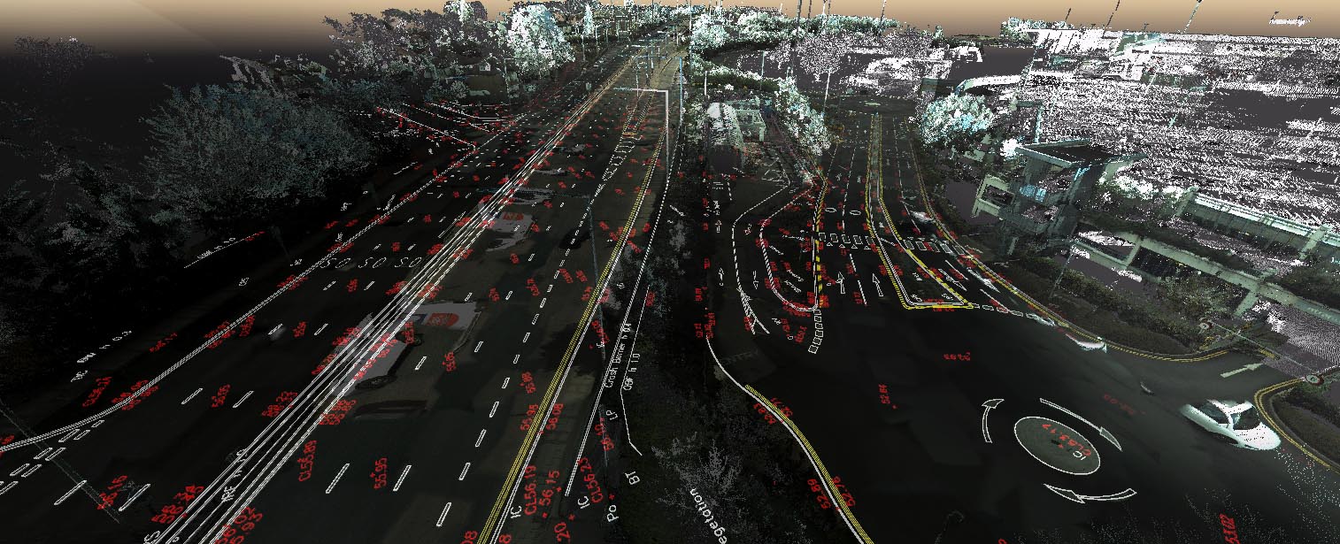
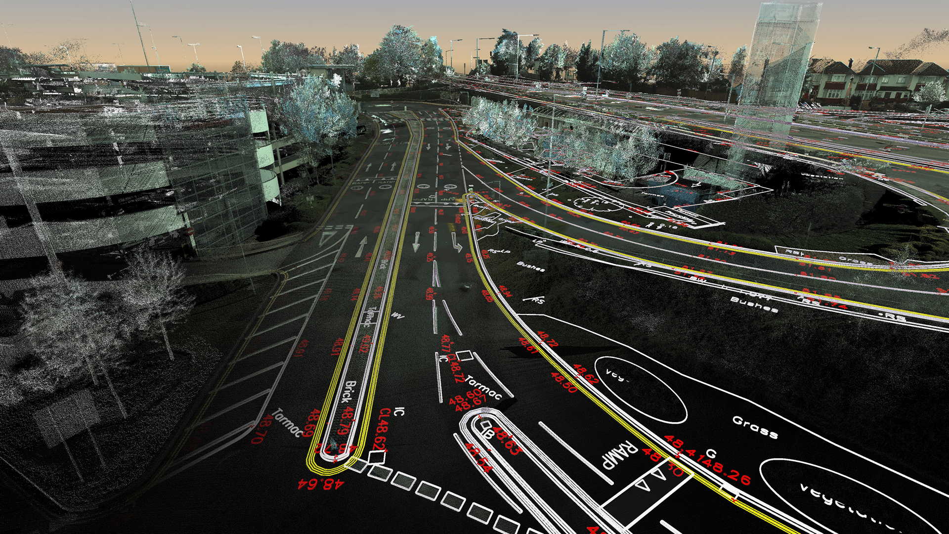
>Raw scan data (RGB point cloud) from the mobile laser scanning and photos with geolocation was provided by our client
TOTAL TIME SPENT
50 days processing in the office, 1 person, 10km of roads, several large-scale parking plates
FINAL PRODUCT
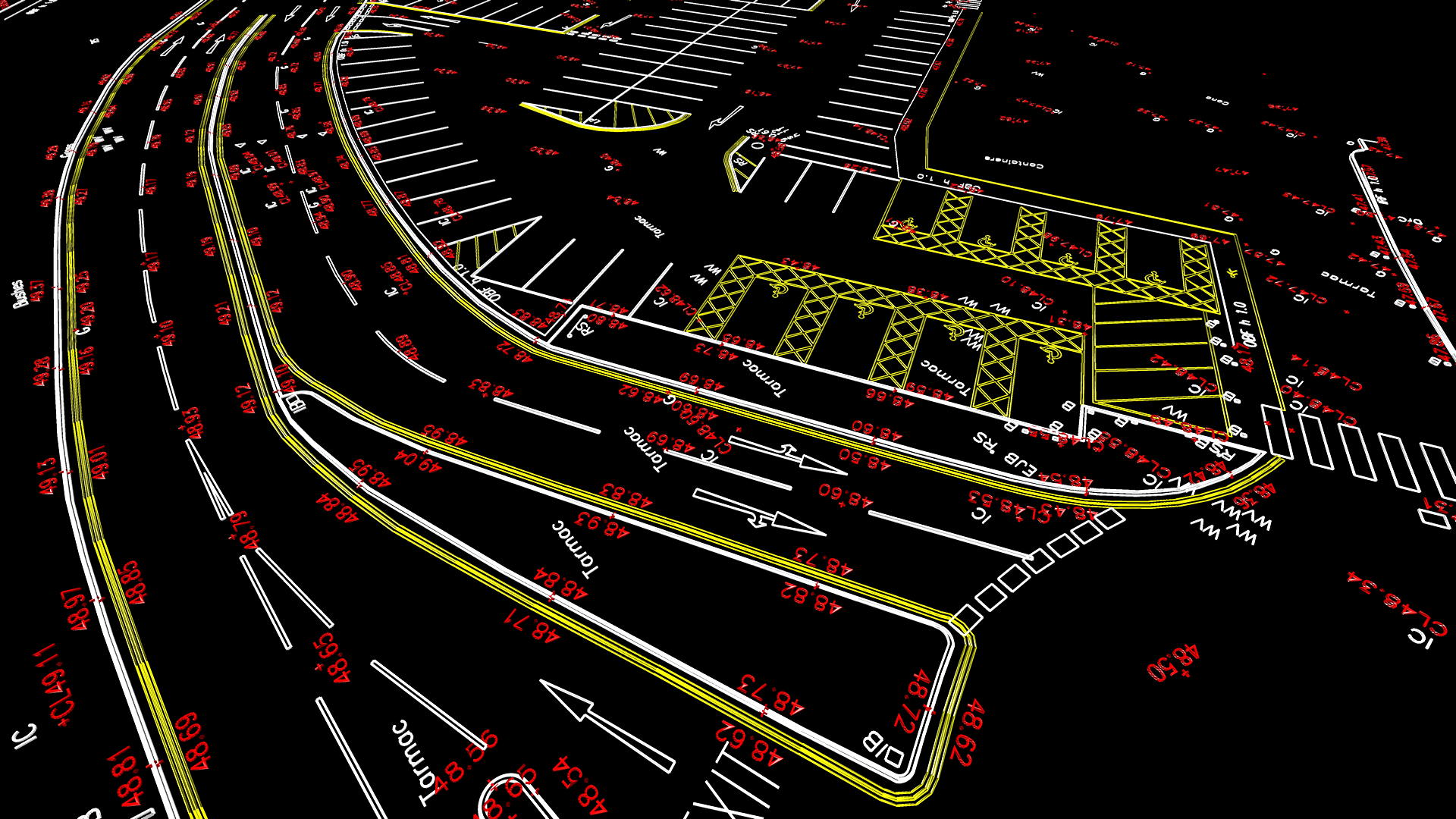
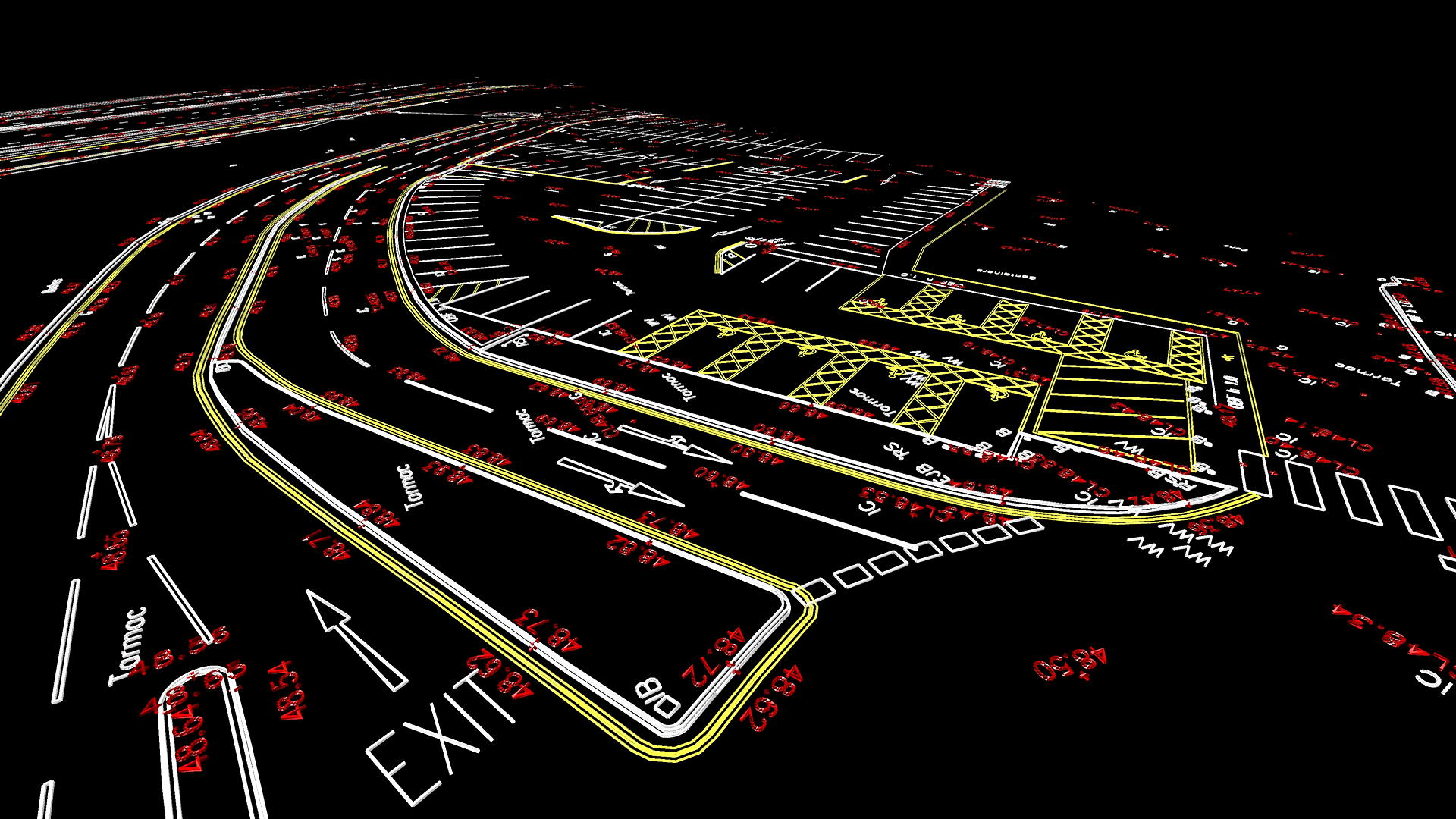
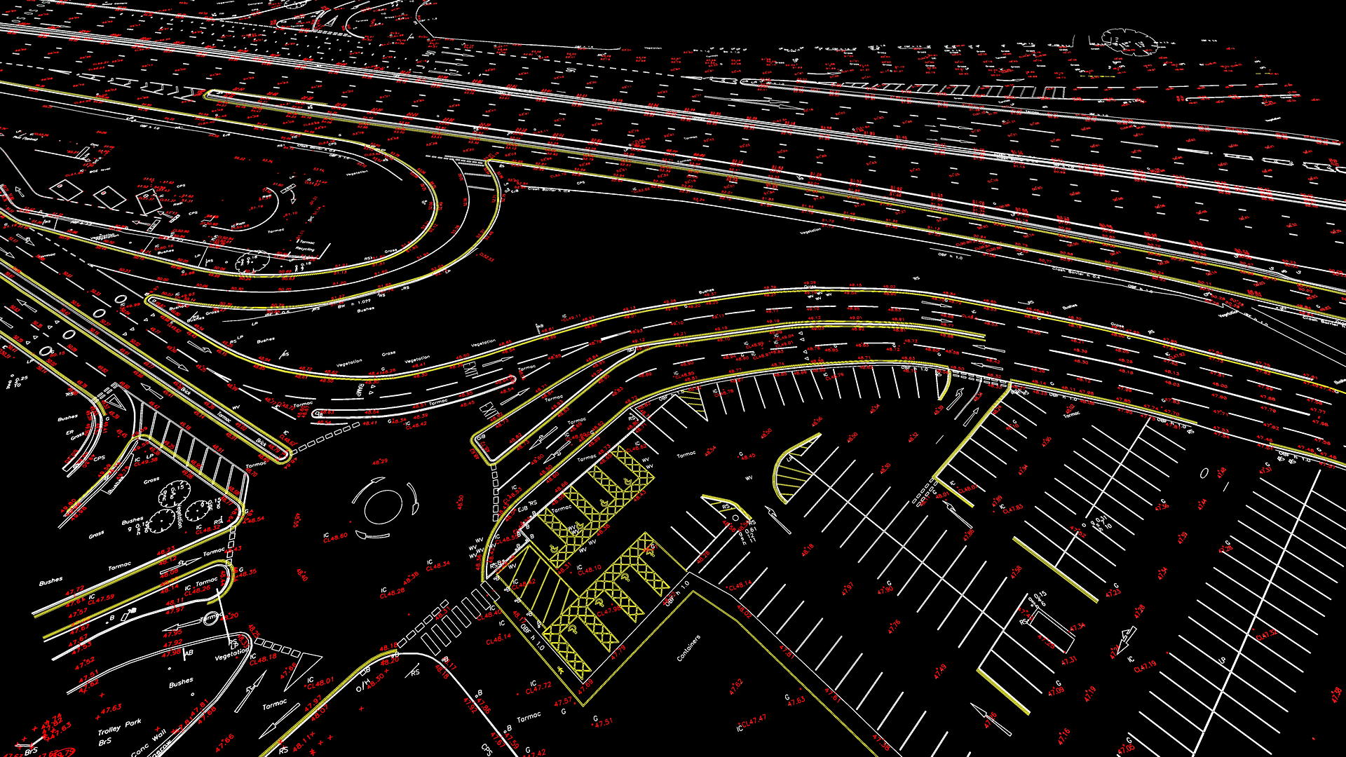
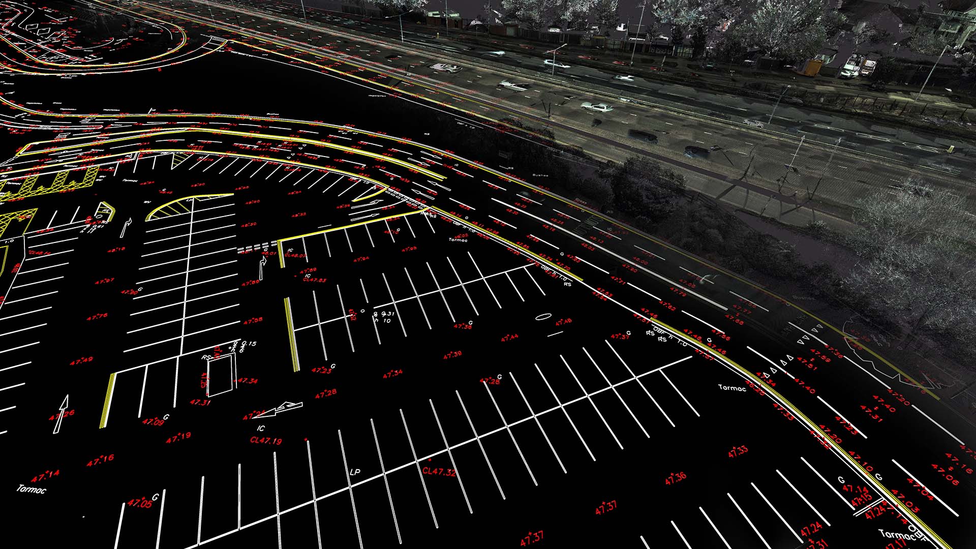
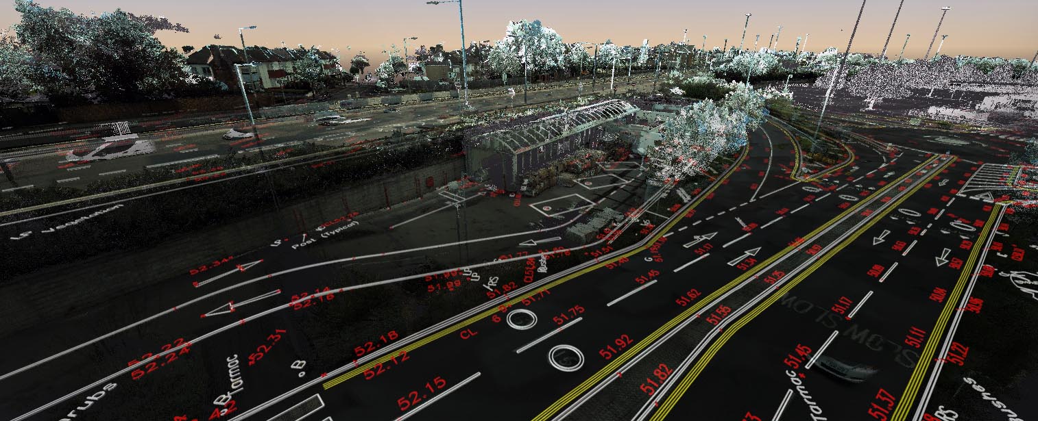
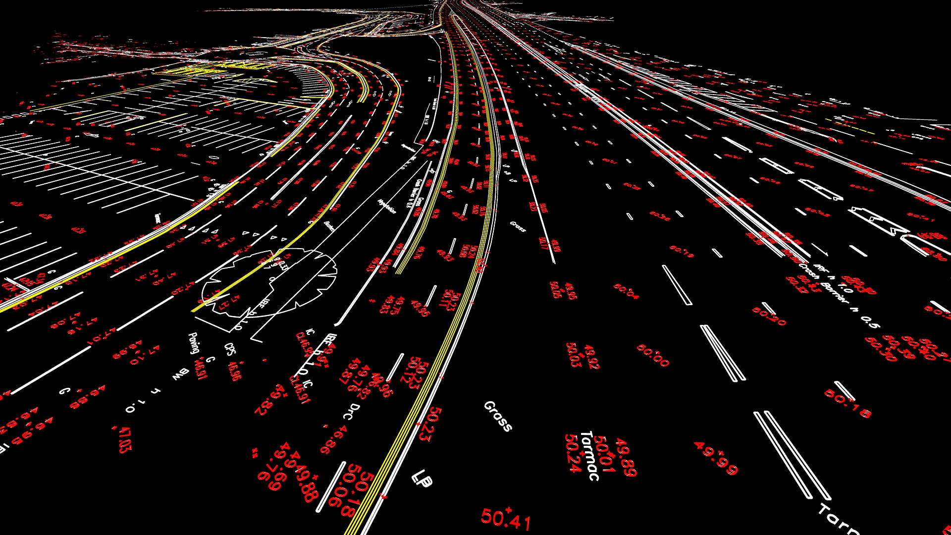
TOPO 3D
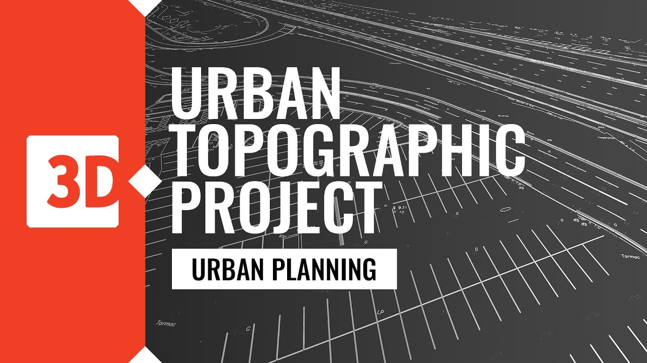
URBAN TOPOGRAPHIC PROJECT
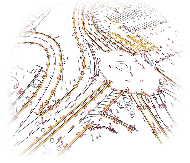
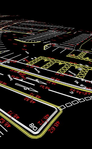
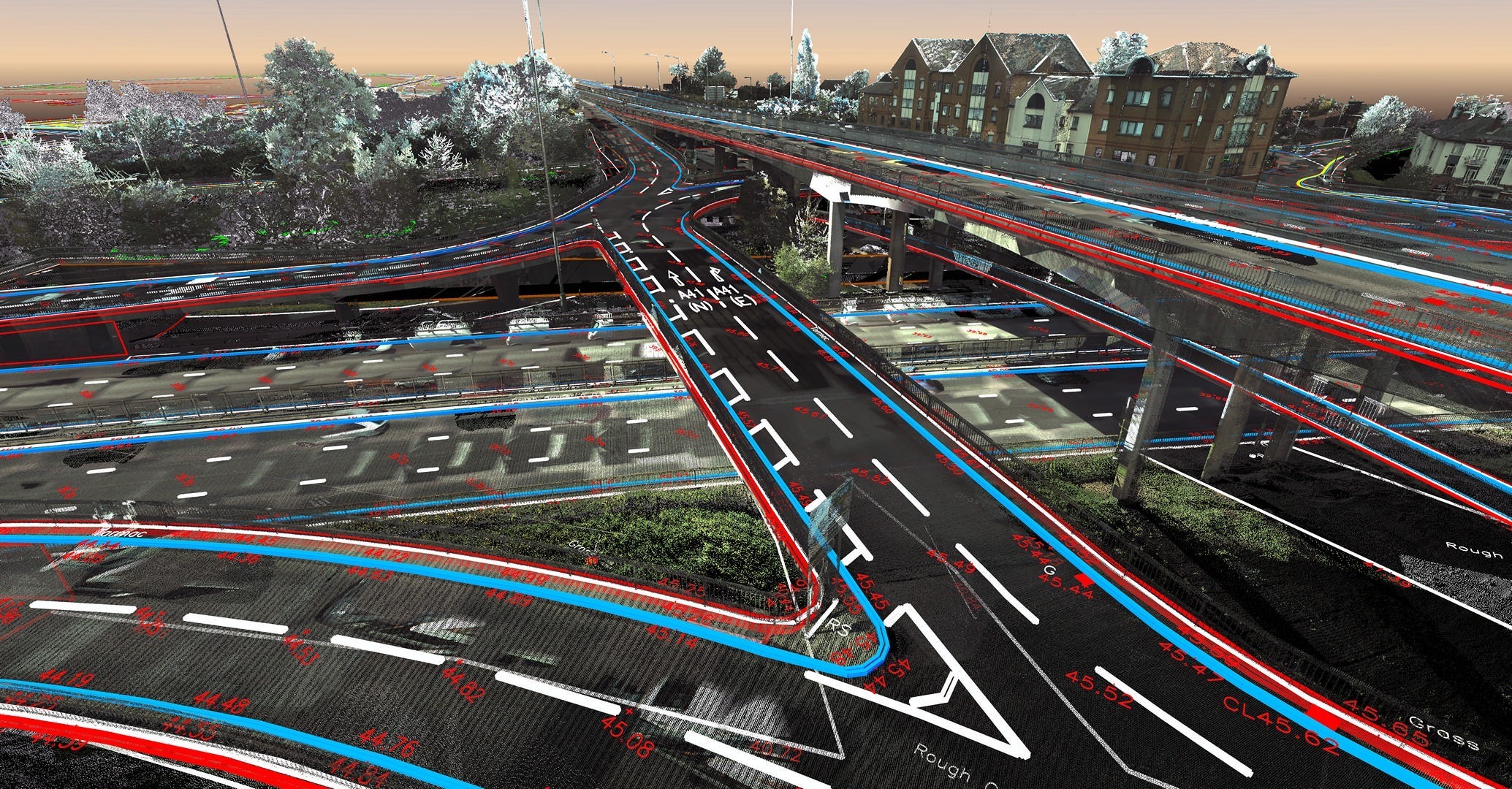
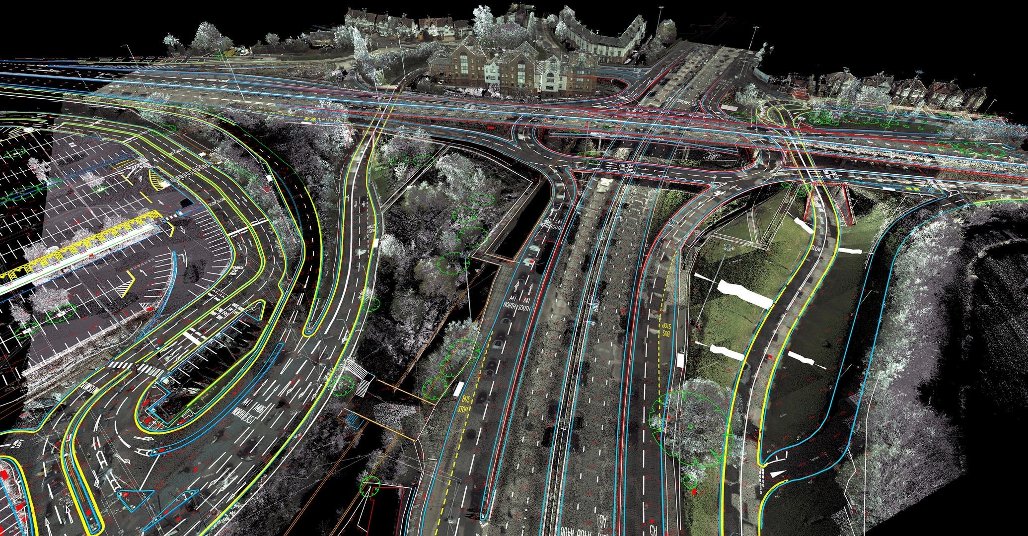
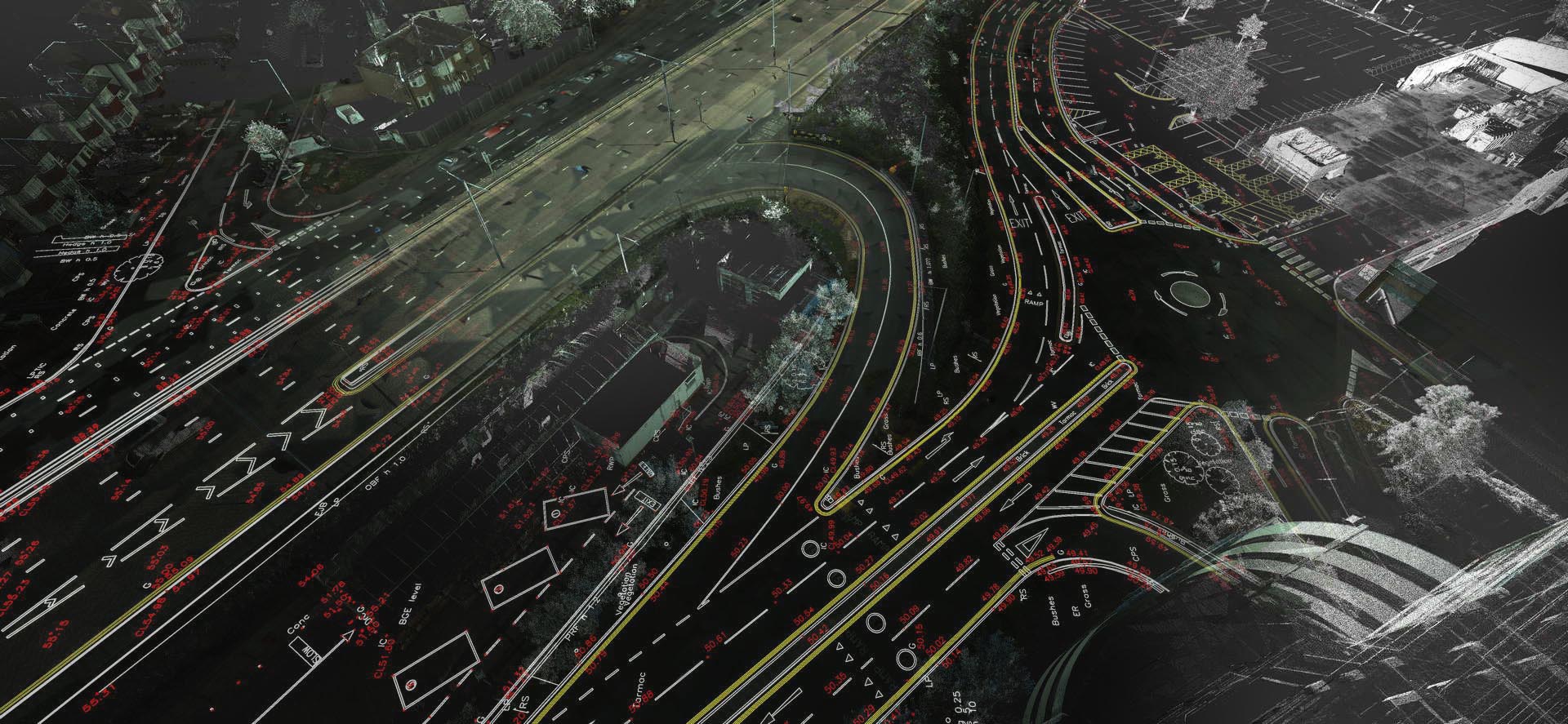
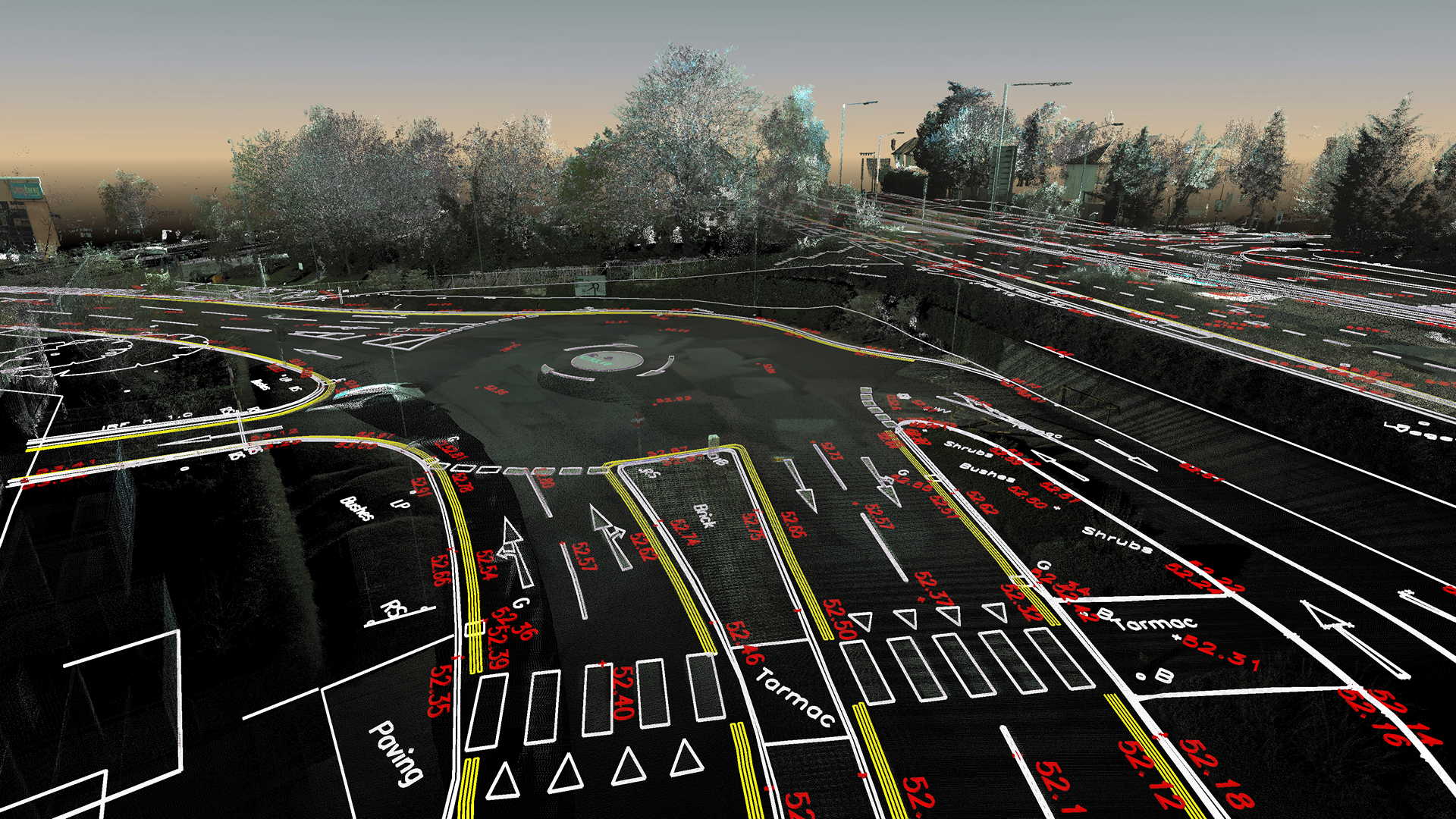
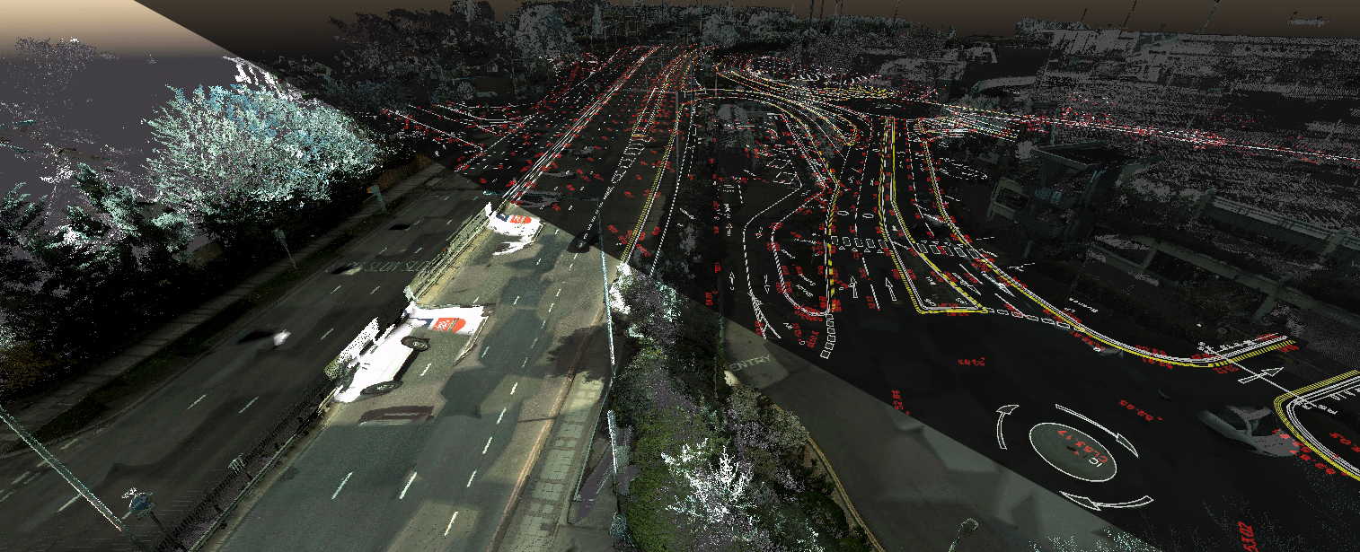
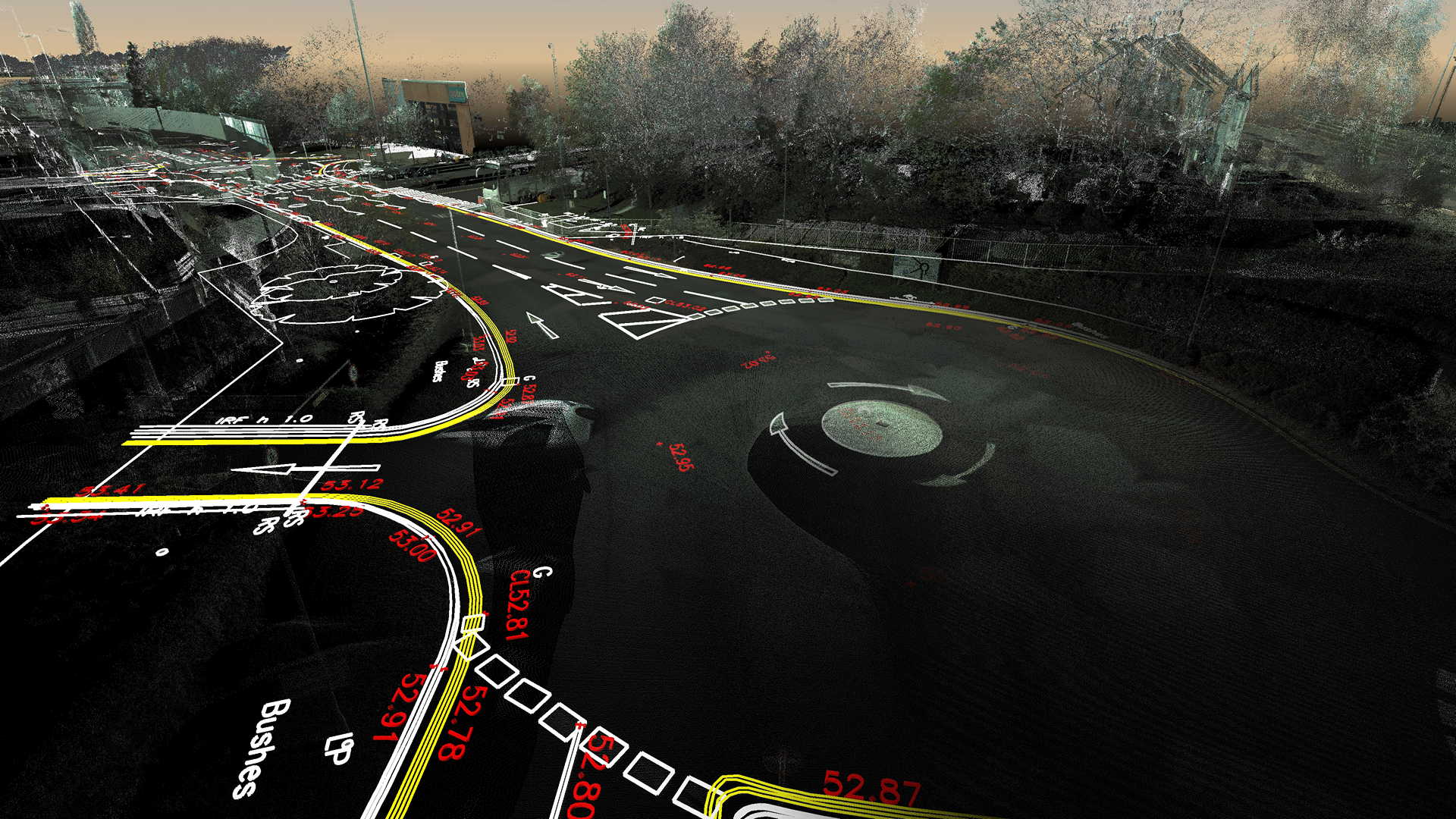
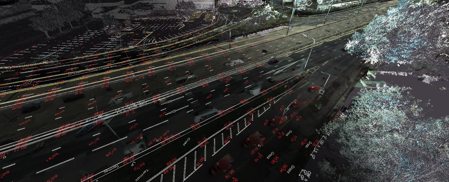
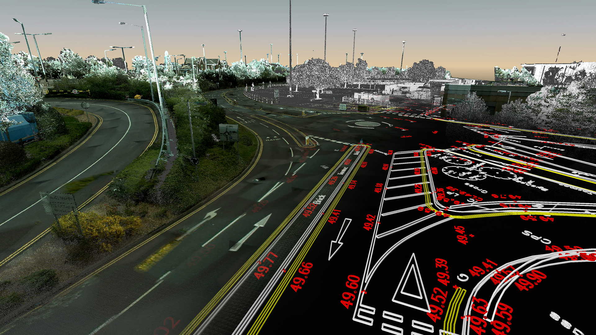
3Deling were provided with RAW scan data collected by vehicle-mounted mobile scanning technology along with georeferenced photography. While the mobile data comprehensively covers the highway boundary it does leave gaps beyond the reaches of the pavements. For these areas, it was necessary to supplement the data with traditional static terrestrial scanning in order to create a full dataset of the development area.
A 3D topographic survey was then created utilising Bentley Descartes. The “model by section” function within this programme greatly accelerated the production. Utilising georeferenced photography also speeded up the process.
The survey area was both large and diverse in terms of detail and provided a great development opportunity in the production of 3D topo from the point cloud.
Categories: