LOCATION
London, UK
SURVEYING EQUIPMENT
Riegl VZ-400, Station Leica TCRA 1201+
TOTAL TIME SPENT
1 day in site and 4 days in the office
FINAL PRODUCT
Registered Point Cloud, 3D Model, Surface report
Tenement building Greater London – External elevation surface rapport
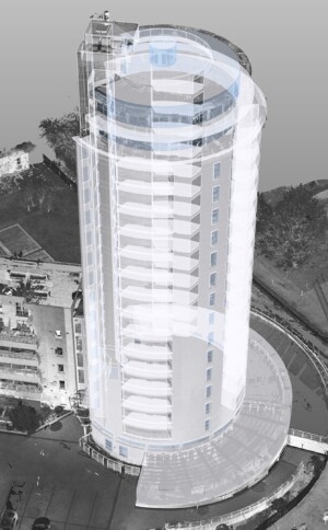
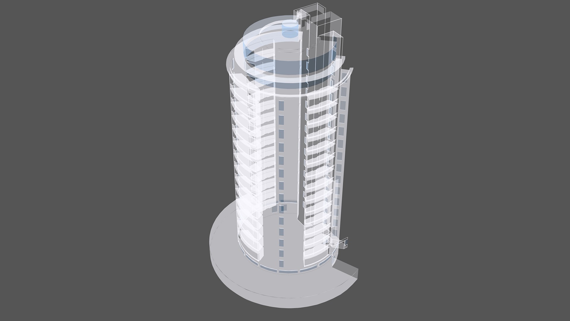
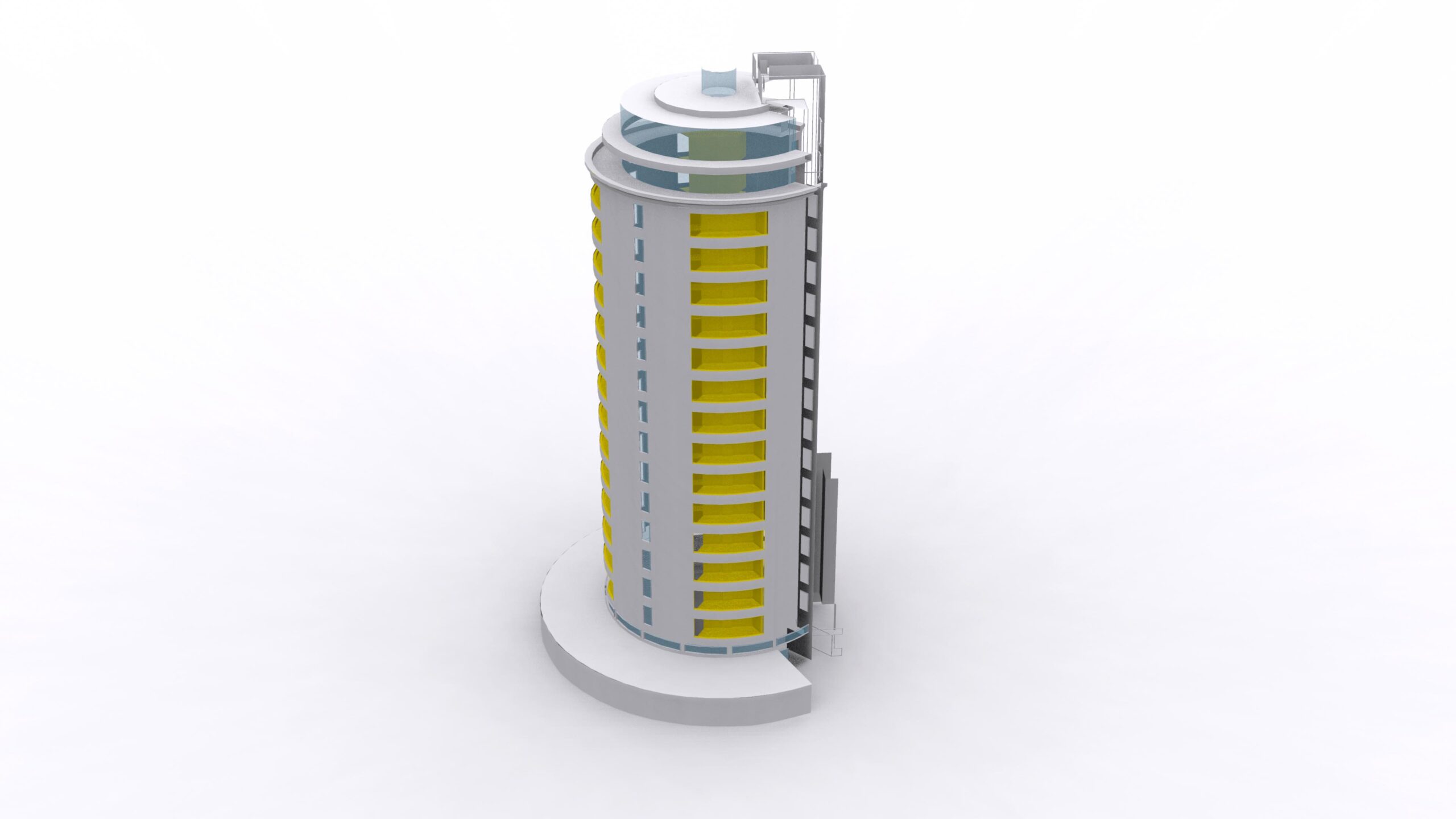
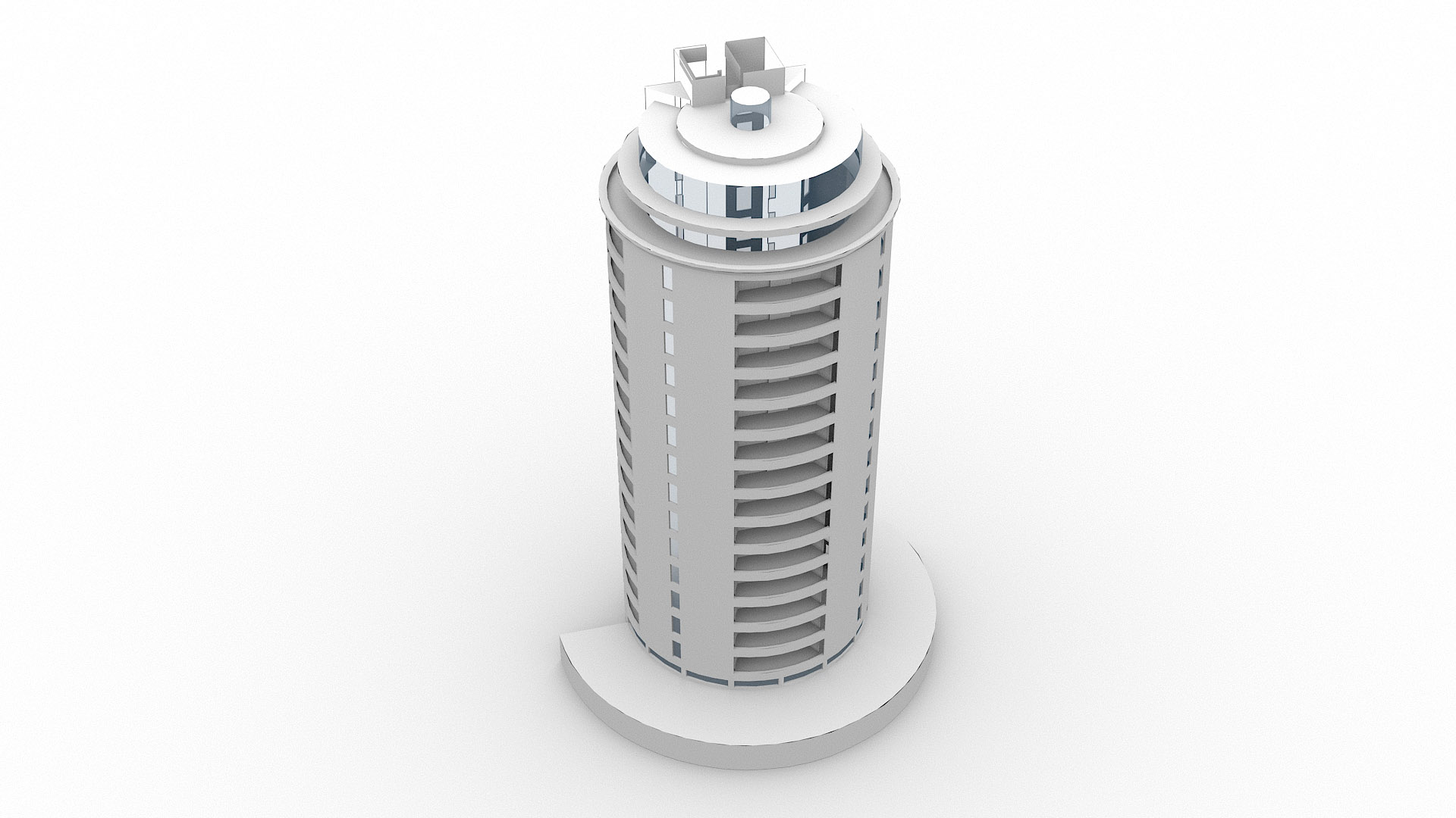
We present a new example of a project where we provided accurate information for the valuation of planned renovation works. Due to the complexity of the shape of the building, the best solution was to create a 3D model and then compute values of surfaces. Our employees have made every effort to obtain the exact dimensions.
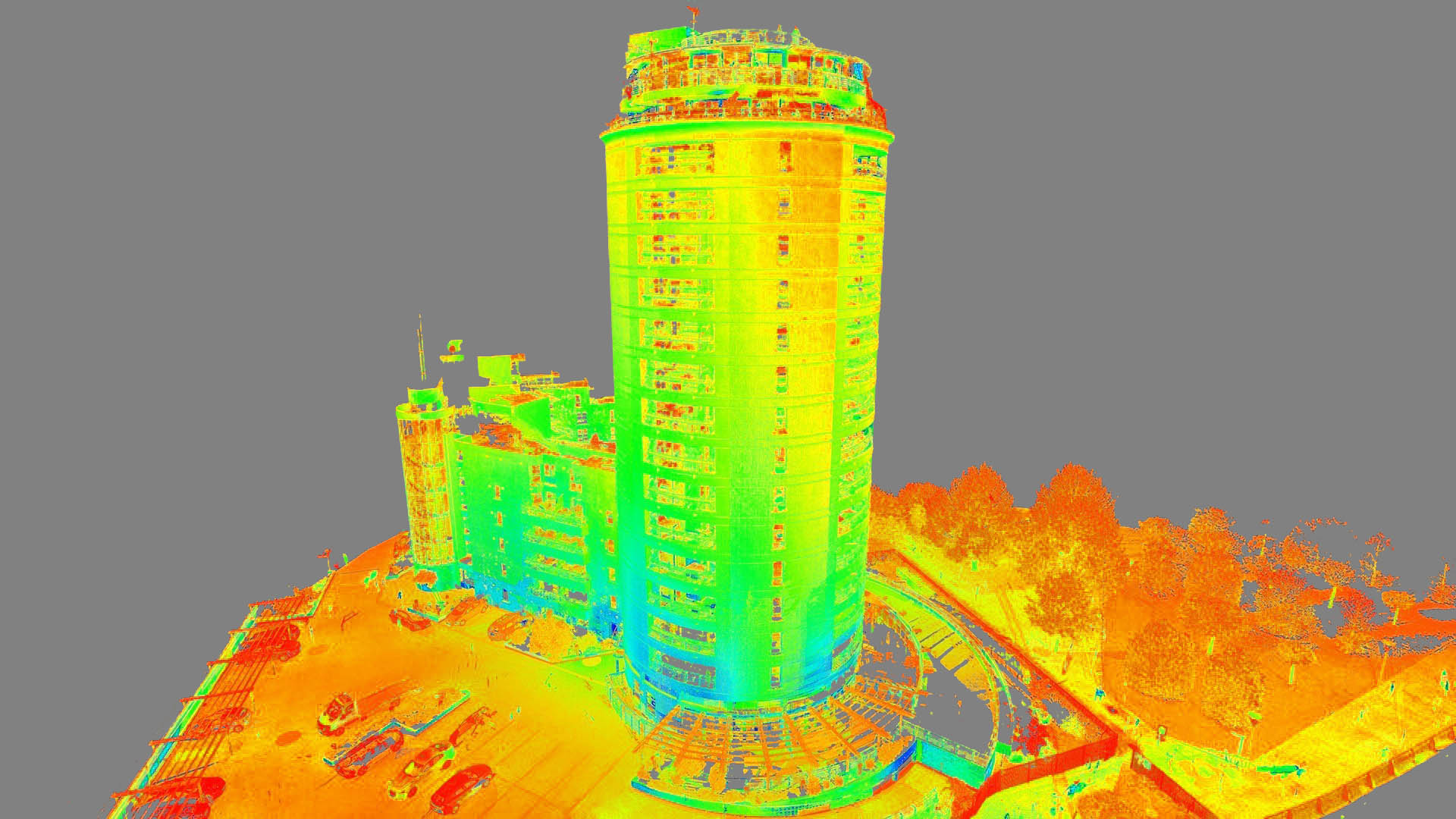
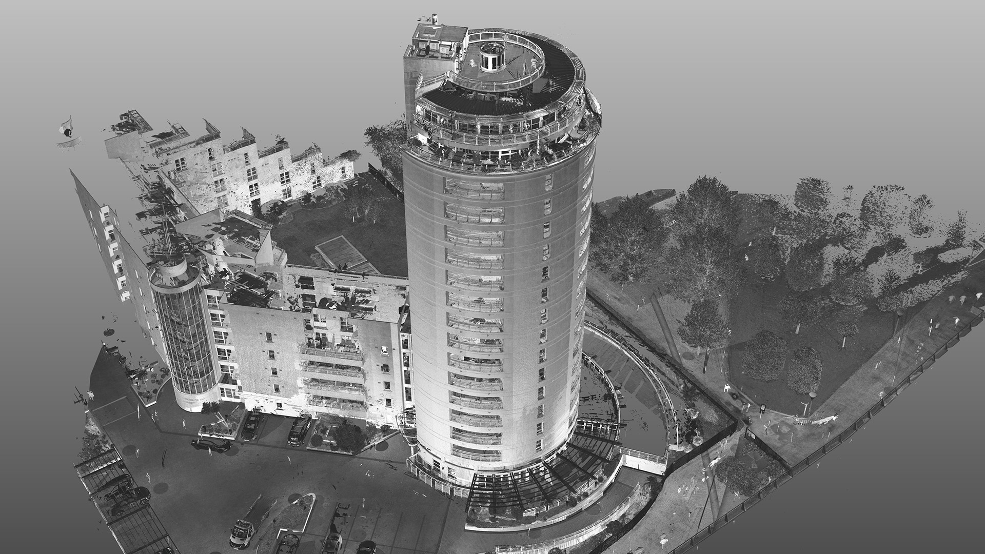
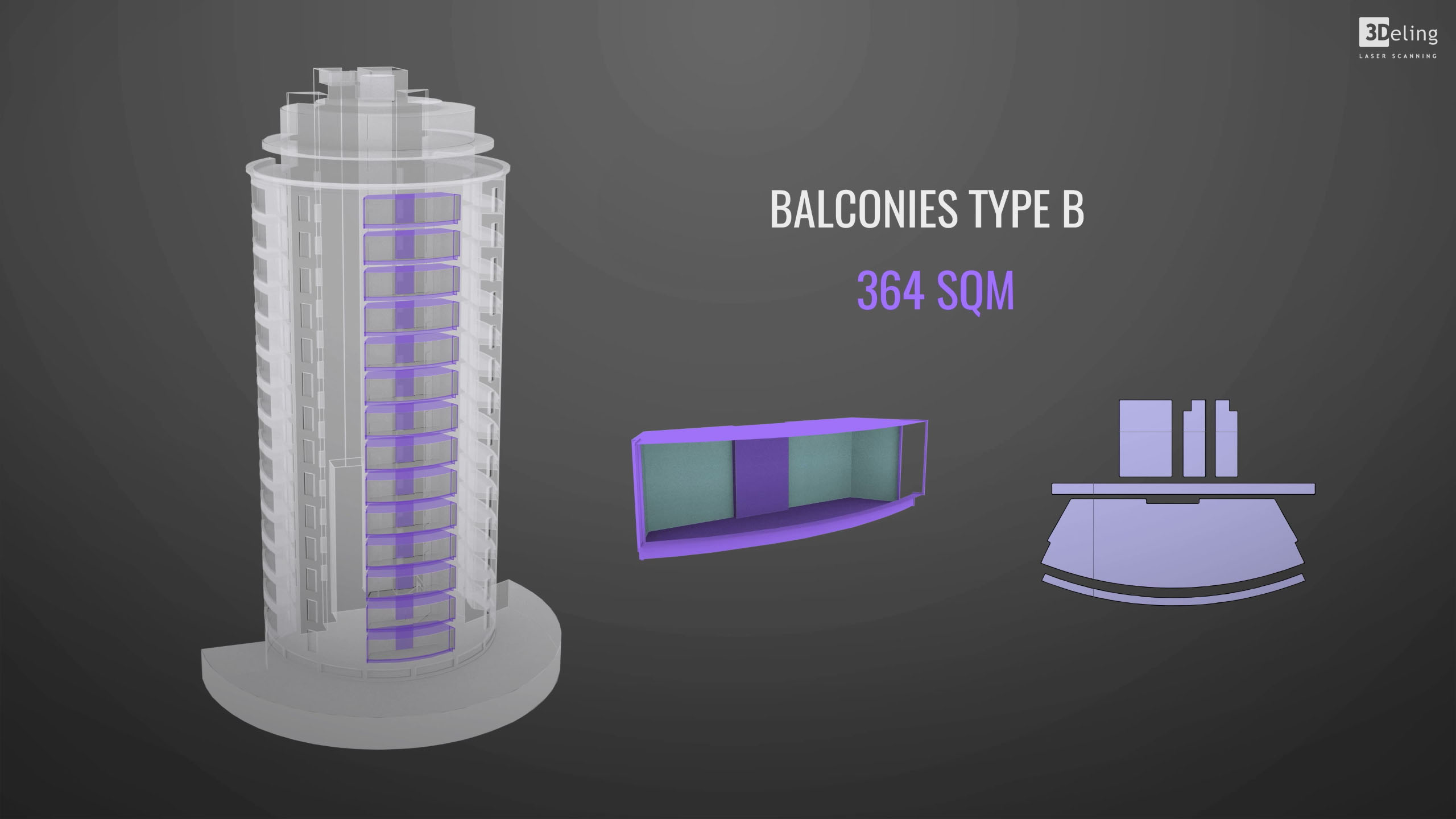
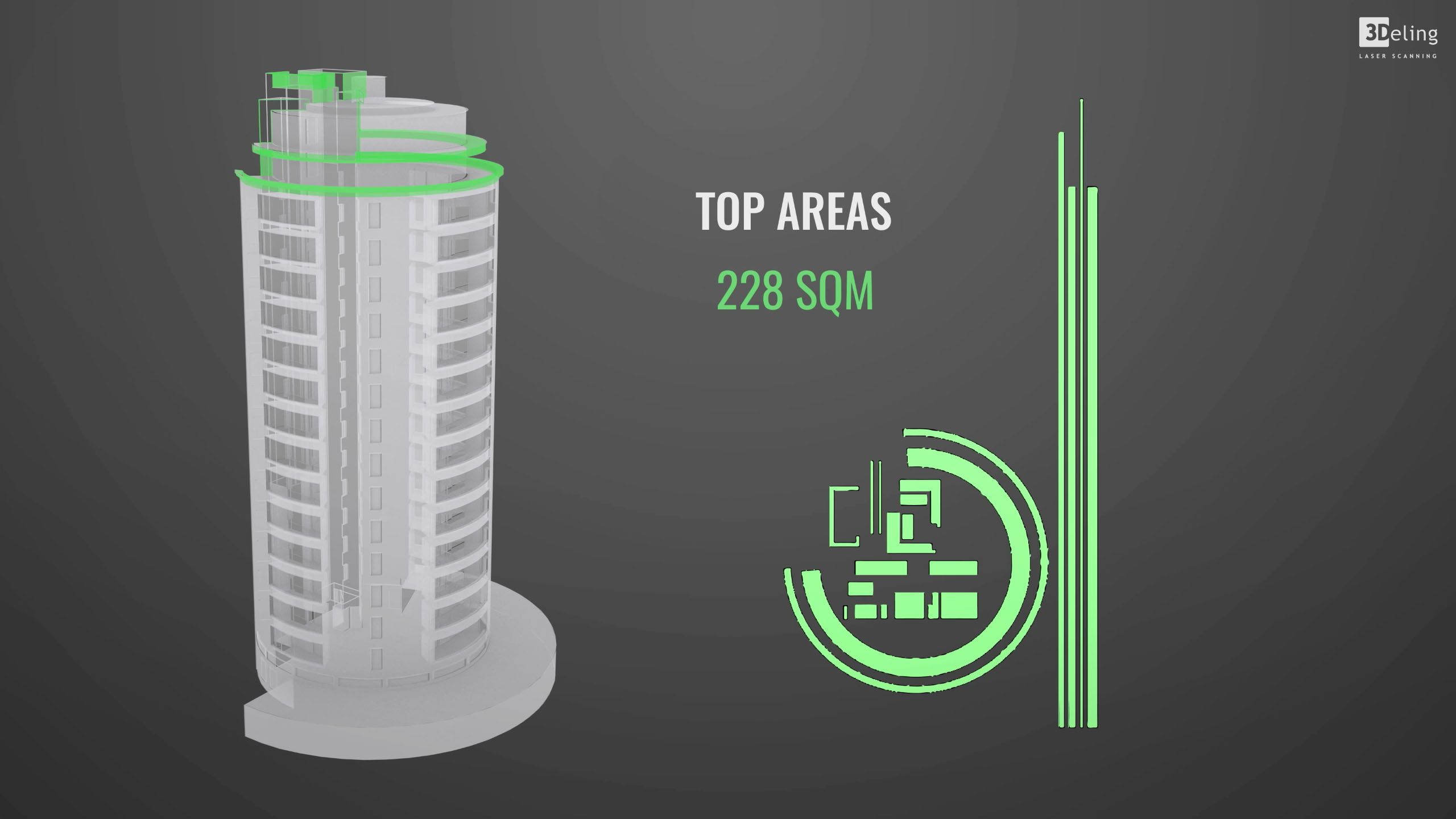
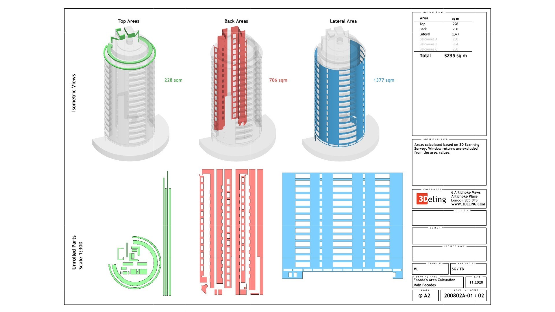
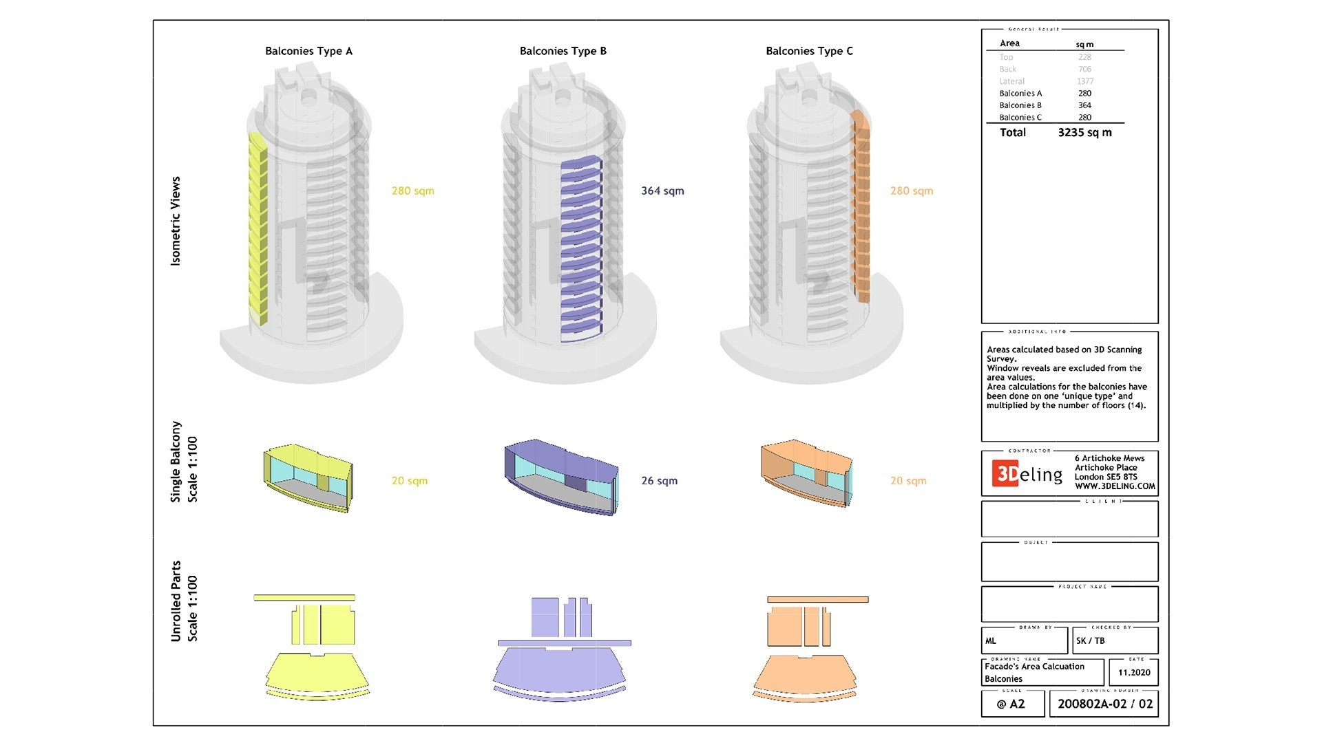
First, the exterior facade of the building was scanned using a long-range scanner. Then the data from the scanner was registered into one single coordinate system, and thanks to this it was possible to obtain a coherent point cloud representing the shape of the entire building. The next step was to create a 3D model based on the mentioned point cloud, the modeling task was conducted in MicroStation. The 3D model of the building elevation has been divided into individual types, and each separated model has been unwrapped to a plane in order to calculate its area. The scope of the entire project covered all parts of the building. The following areas were separated: main wall, rear walls, roof walls and balconies, which were also separated by type. The final results of the measurements were presented in the report which included isometric views of the separated types unwrapped elements.
Categories:


