LOCATION
Poznań, Poland
SURVEYING EQUIPMENT
scanner Z+F Imager 5010C, Leica TCRA 1101 plus Total Station
TOTAL TIME SPENT
200 processing days in the office
FINAL PRODUCT
Registered point cloud, 2D documentation
Old Slaughterhouse
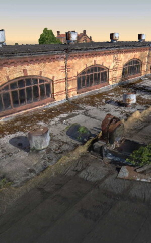
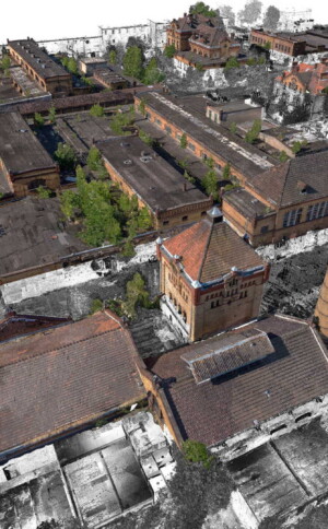
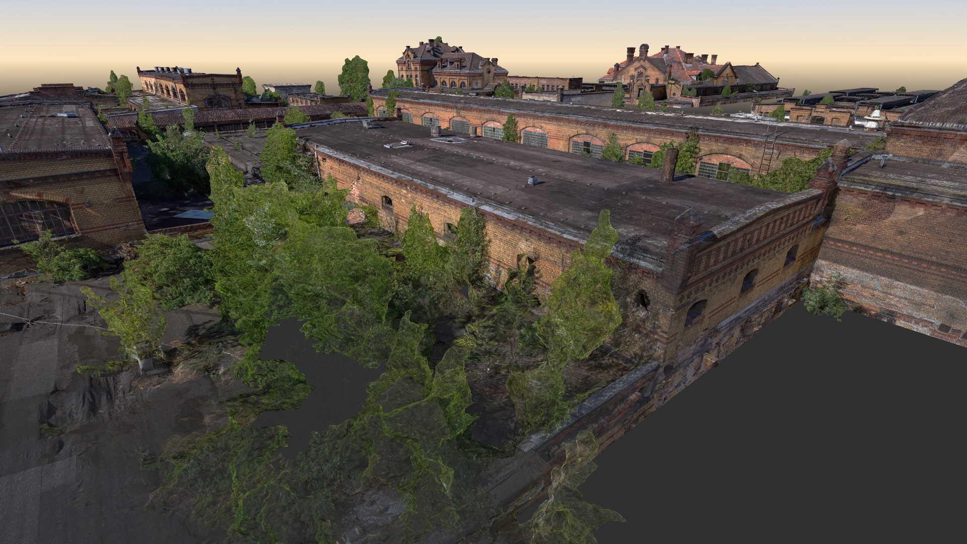
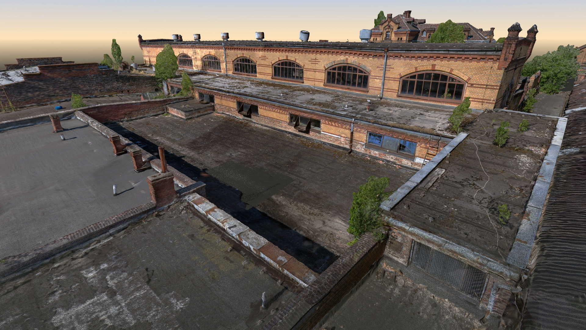
The scope of the project was a laser scanning of fourteen buildings of the “Old Slaughterhouse” in Poznań. Most of the complex was built in 1900 and are under the protection of a conservation office. The aim of the study was to prepare 2D documentation as a starting material for the planned reconstruction of this historic building complex.
Measurements included traditional geodetic surveying with total station and GPS as well as a laser scanner. Data from laser scanner was complemented by a colourful point cloud obtained from UAV drone. It was decided to use as many non-invasive methods of data acquisition as possible because some buildings were in danger of collapsing or access to them was completely impossible.
The 2D documentation, which was created basing on the point cloud and available construction expertise, included floor plans, elevation drawings, sections in 1: 50 scale and a set of architectural details.
Categories:


