LOCATION
Łaszczów, Poland
SURVEYING EQUIPMENT
Z+F imager 5010c and Scanner Riegl VZ-400, Leica TCRA 1101 plus Total Station
TOTAL TIME SPENT
2 days on site, 20 days data processing – scan registration, drawings and orthoimages
FINAL PRODUCT
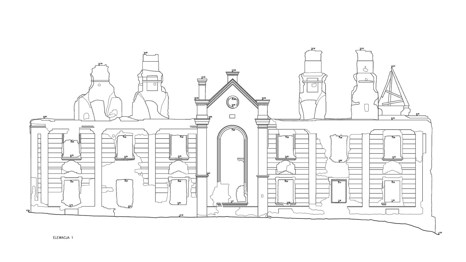
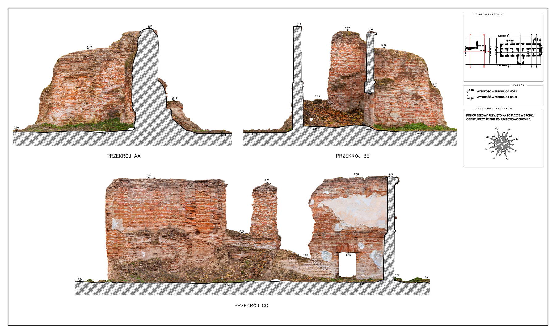
Registered point cloud, TruView, Orthoimages from the point cloud, CAD drawings
Laser scanning and generation of orthoimages from point cloud data (Łaszczów)
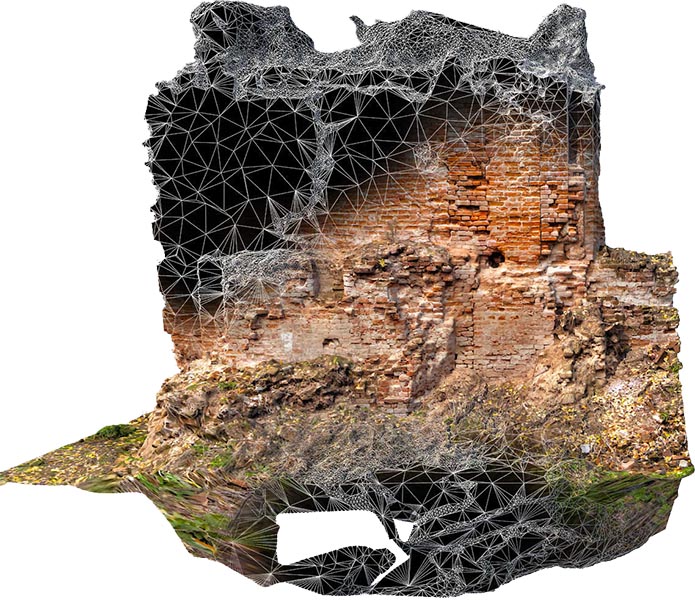
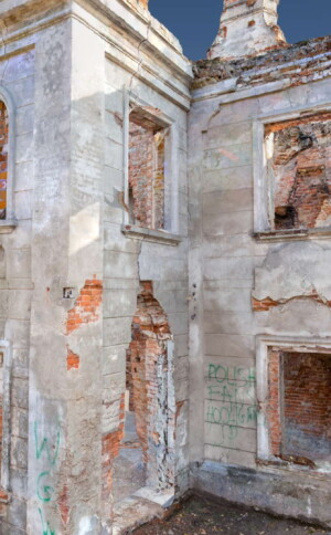
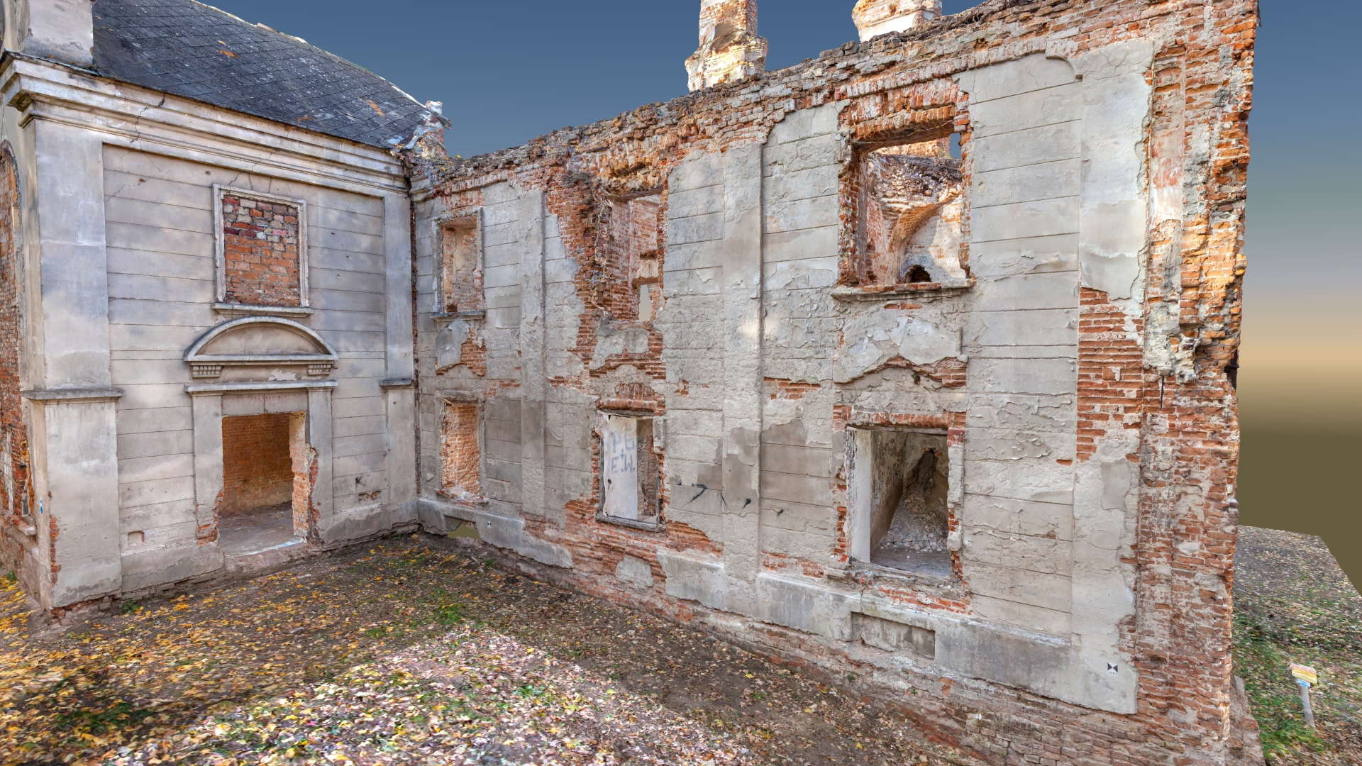
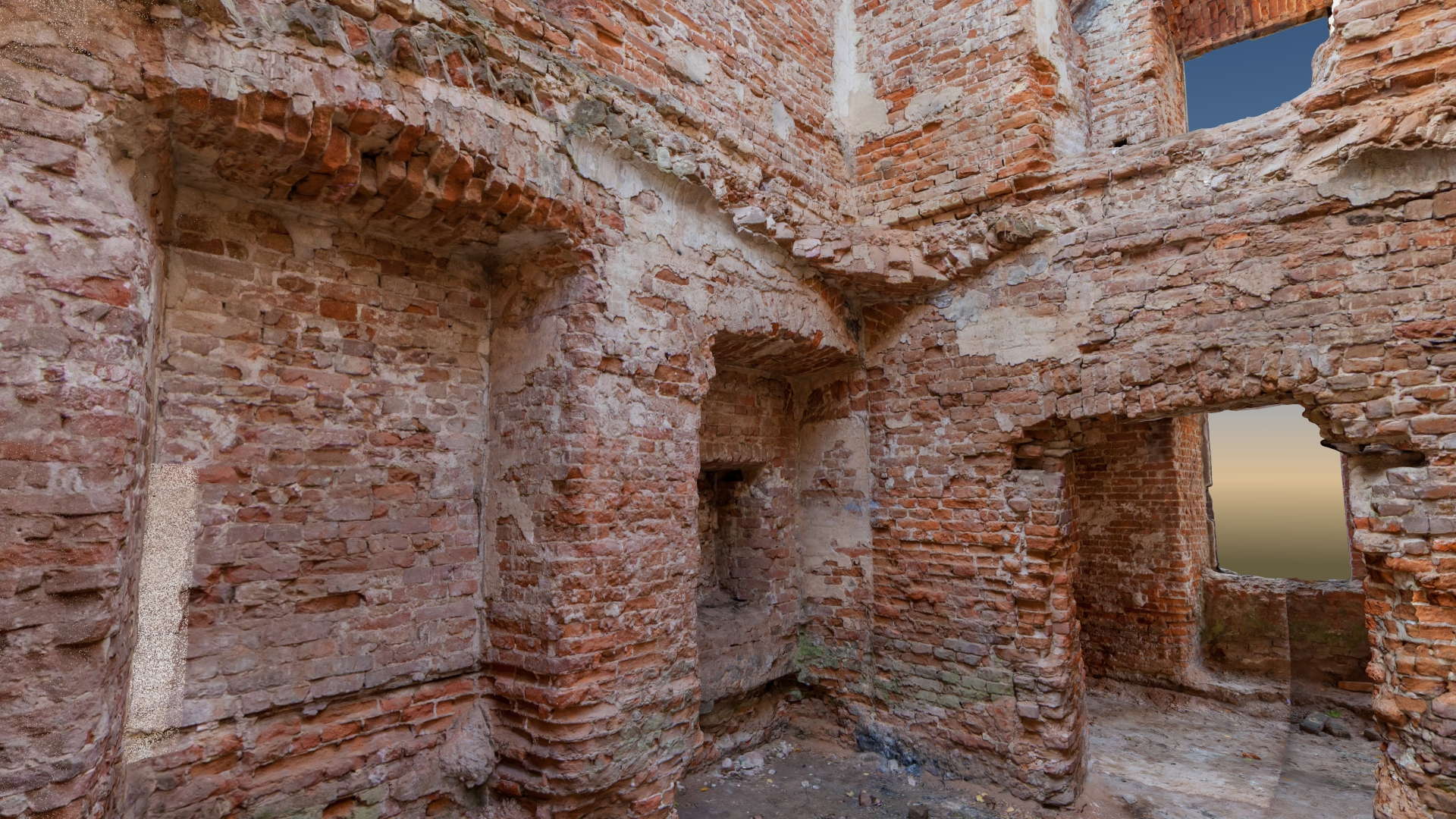
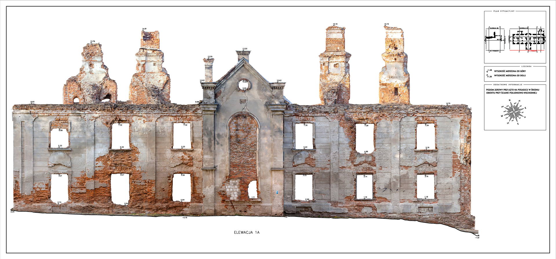
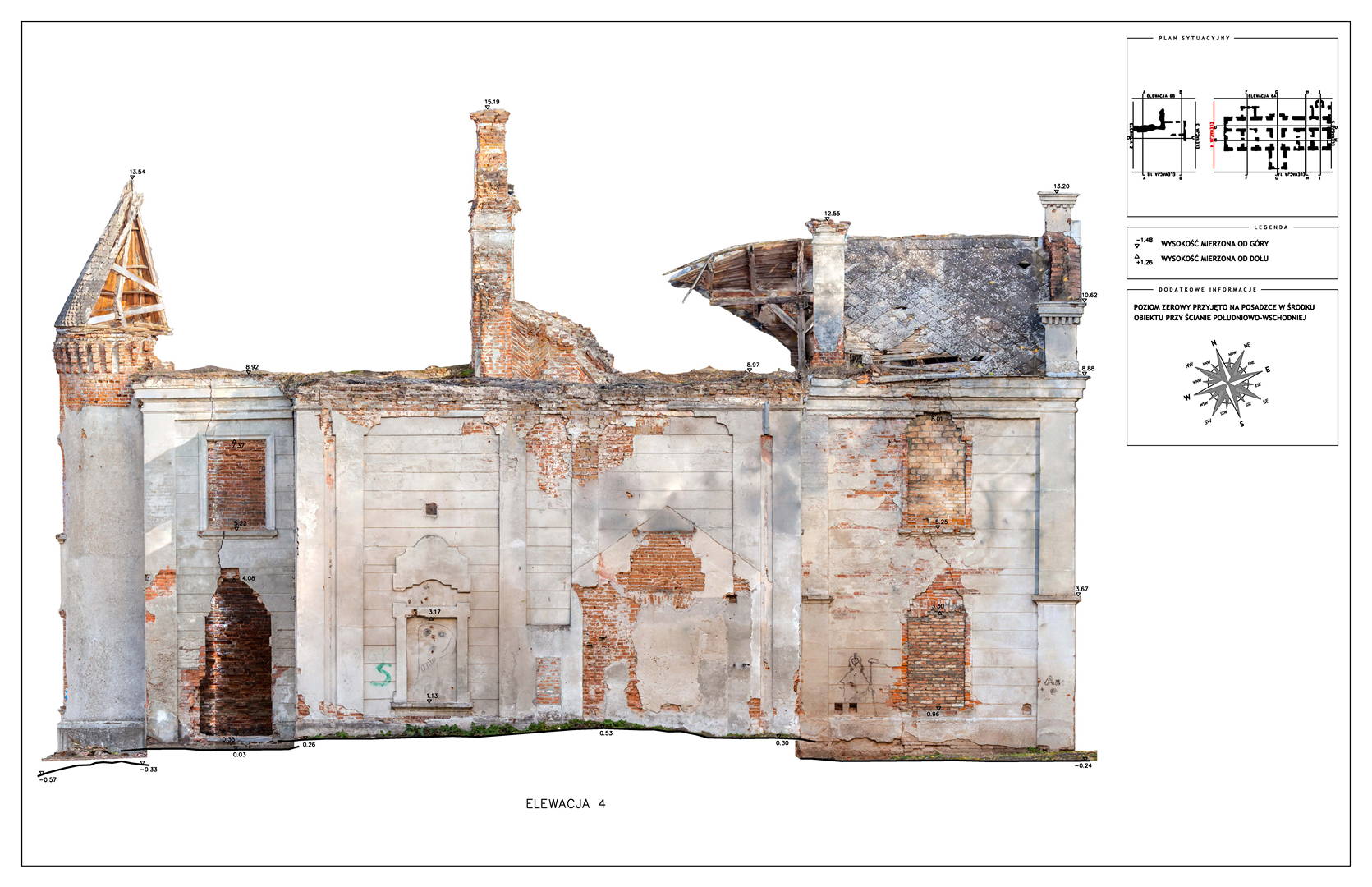
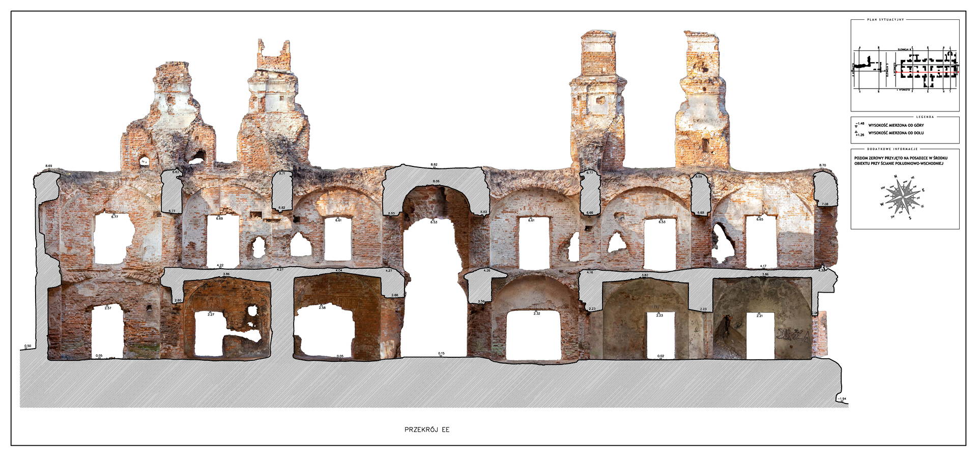
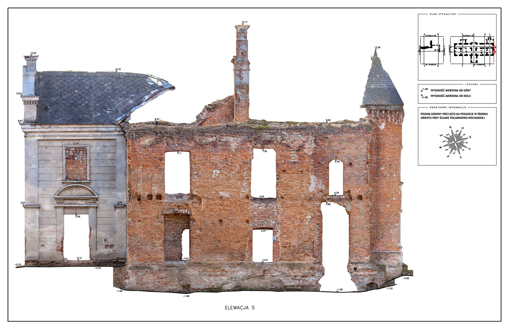
Located in South Eastern Poland in the town of Łaszczow, the current owner is planning to restore the ruins of this 16th Century Mansion House. Due to strict National Heritage regulations, the architect in charge commissioned an extensive survey to comprehensively record the remains of the existing structure. Orthoimages were produced to detail the position and condition of all the bricks within the remaining structure.
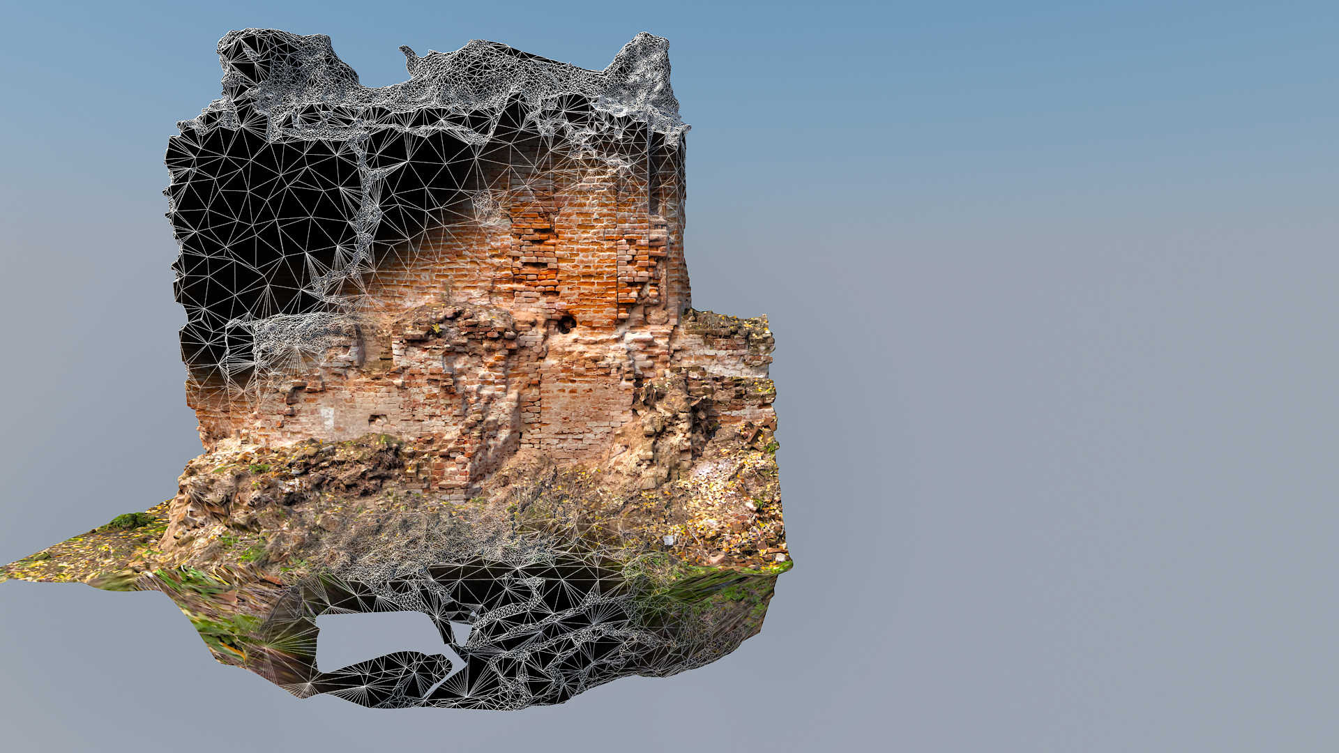
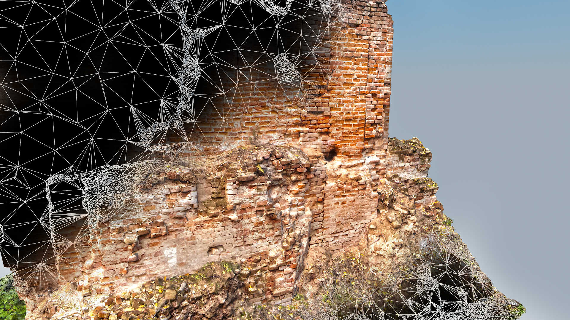
Extensive laser scanning was completed along with high quality RAW photographic images. The scan and photographic imagery were then combined to create extremely high-resolution point clouds along with textured 3D mesh models. The pixel size of the final delivered data was 2mm. Further to the survey grade information provided, a movie was also generated and delivered. This information will be used to aid the client with fundraising and marketing initiatives.
Categories:

