LOCATION
Płock, Poland
SURVEYING EQUIPMENT
scanner VZ-400 Riegl, Leica TCRA 1101 plus Total Station, Camera Canon 3D Mark II, drone
TOTAL TIME SPENT
1 day on site (10 scans), about 10 days processing in the office
FINAL PRODUCT
Orthophotos, 3D BIM models
Historic Elevation
in Plock
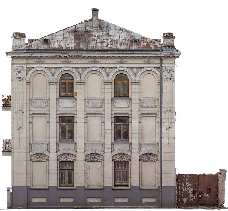
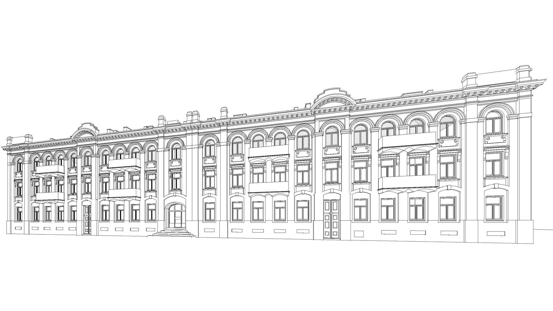
The purpose of this project, commissioned by the building management, was to record the historic façade of this listed building for record purposes. The heritage conservation officer set exacting accuracy requirements for the project. That is why a number of technologies were employed to collect a comprehensive dataset. One of them was orthophotogrammetry. Orthophoto (Orthoimage) metric pictures were taken with 2mm pixel accuracy.
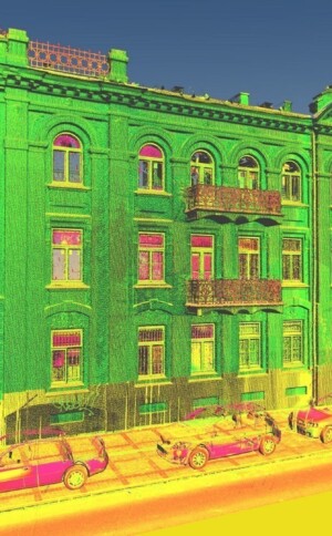
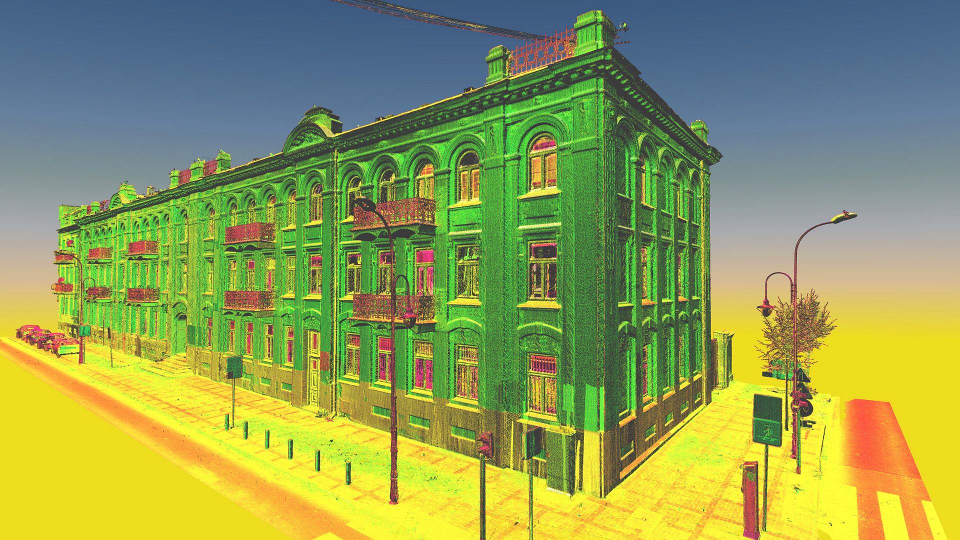
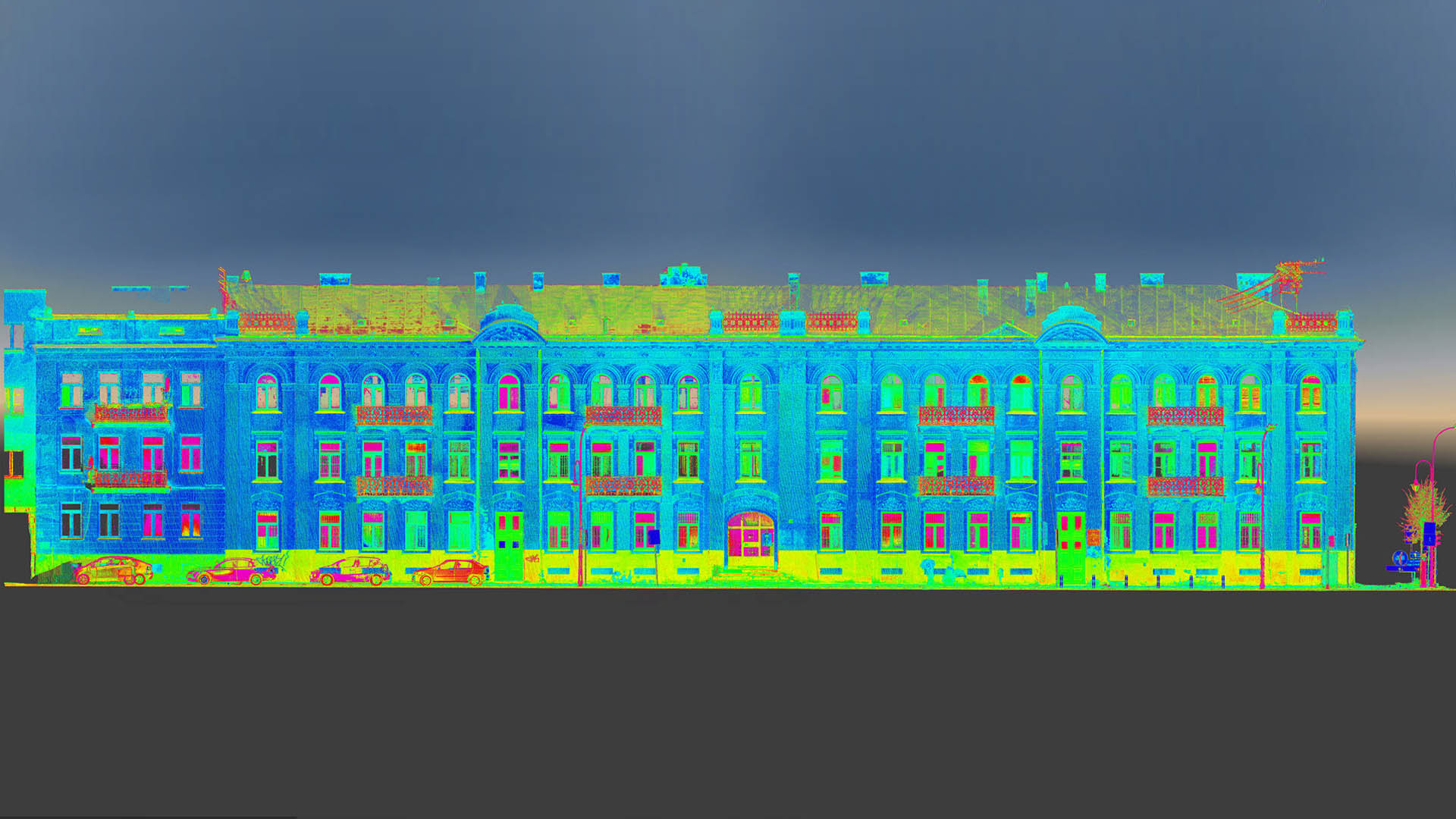
Terrestrial scanning was also undertaken, as well as we UAV (Drone) to capture detail obscured from ground level. The scans were then used to add geometric features to images orientated in Bentley Context Capture. Then we generated a mesh model with high-resolution texture, which afterwards was used to render the orthoimage. In addition to the orthoimage, we also produced a detailed BIM ready model in Revit.
Categories:

