LOCATION
England
SURVEYING EQUIPMENT
ZF Imager 5010, Station Leica TCRA 1201+
TOTAL TIME SPENT
1 day in site and 2 days in the office
FINAL PRODUCT
Registered Point Cloud, 3D Mesh Model, Volume report
Farm in southern England – Volume surveys
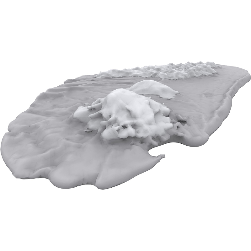
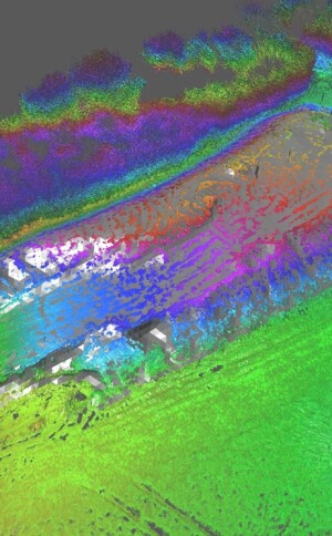
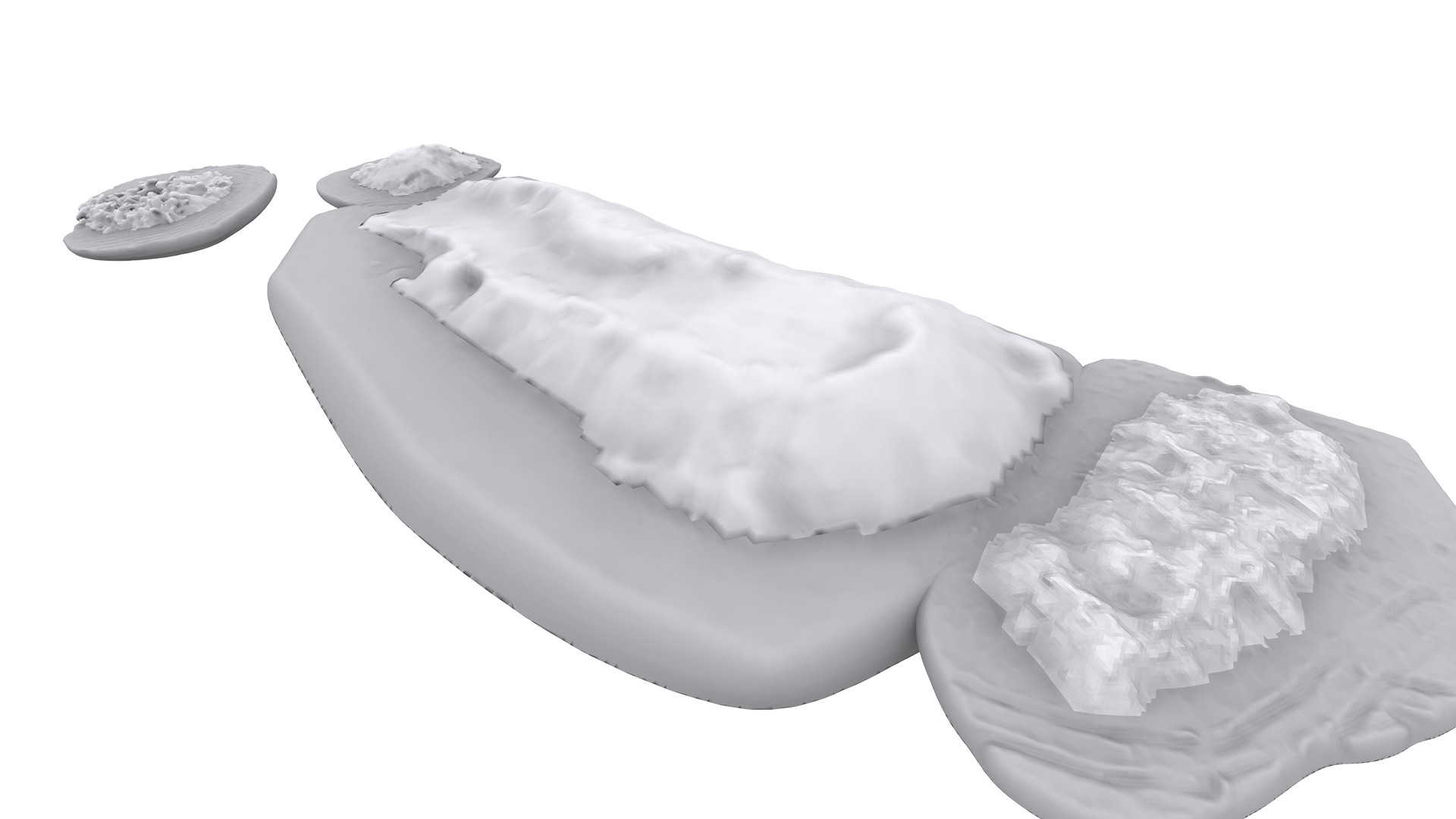
The aim of the project was to calculate the volume of a large amount of loose material on the client’s plot, which was the basis for the valuation of transport and disposal of this material. The first stage of the project was field work, i.e. 3D laser scanning, then the data was registered and a merged point cloud was generated. Based on the point cloud, a 3D mesh model was created. An important element when working on generating the mesh was to maintain the correct topology of the mesh model and to fill in any discontinuities. Having a “watertight” mesh model, the CAD software calculated the individual pile.
Categories:


