LOCATION
London neighborhood, UK
SURVEYING EQUIPMENT
skanner VZ-400 Riegl, TCRA 1101 Plus, Camera Canon 3D mark II, drone DJI Mavic 2 Pro
TOTAL TIME SPENT
1 on site, 10 in the office
FINAL PRODUCT
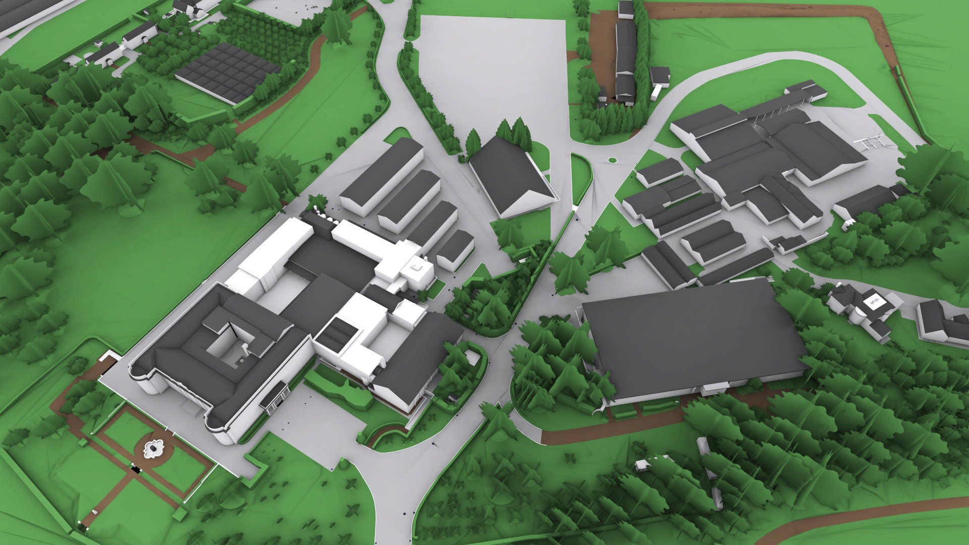
registered point cloud, Truview, BIM model
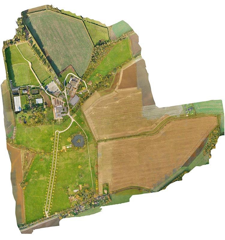
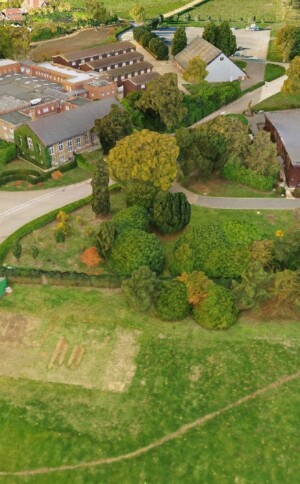
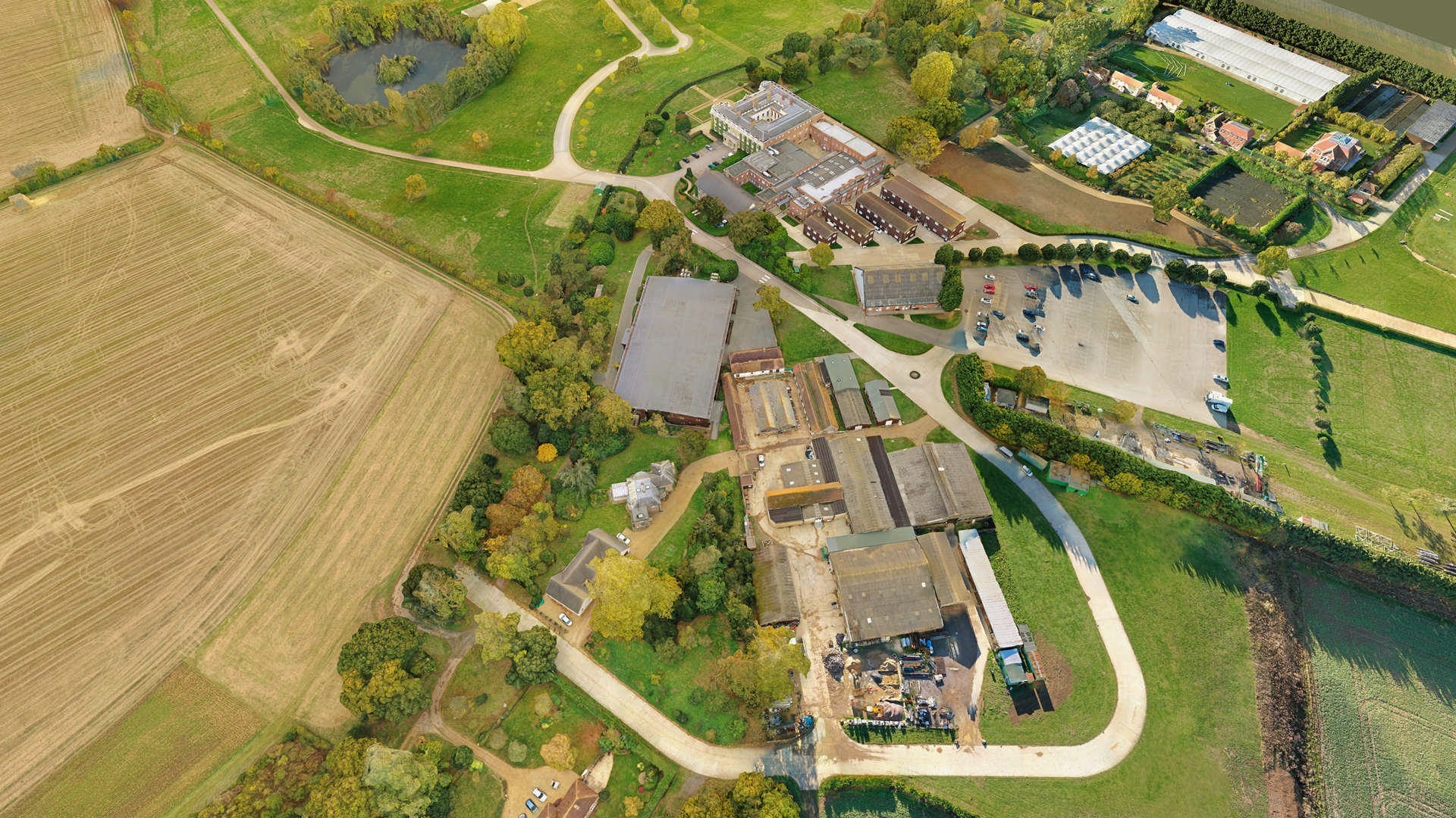
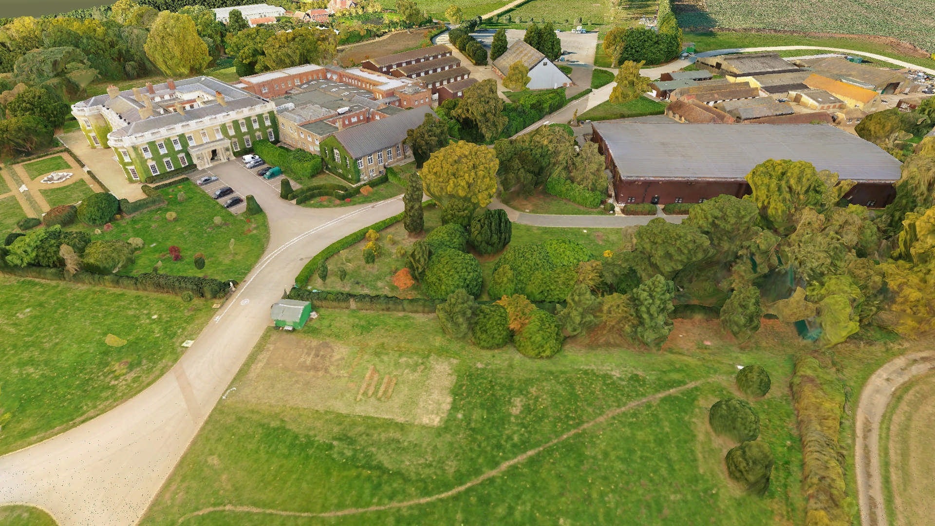
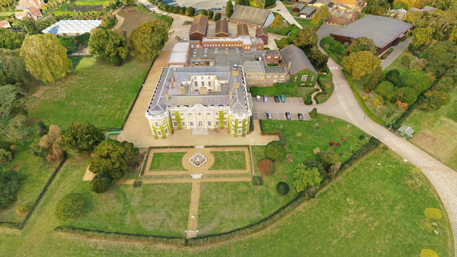
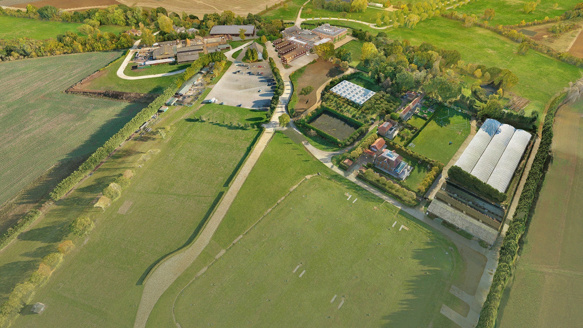
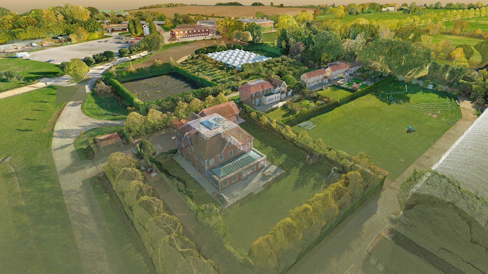
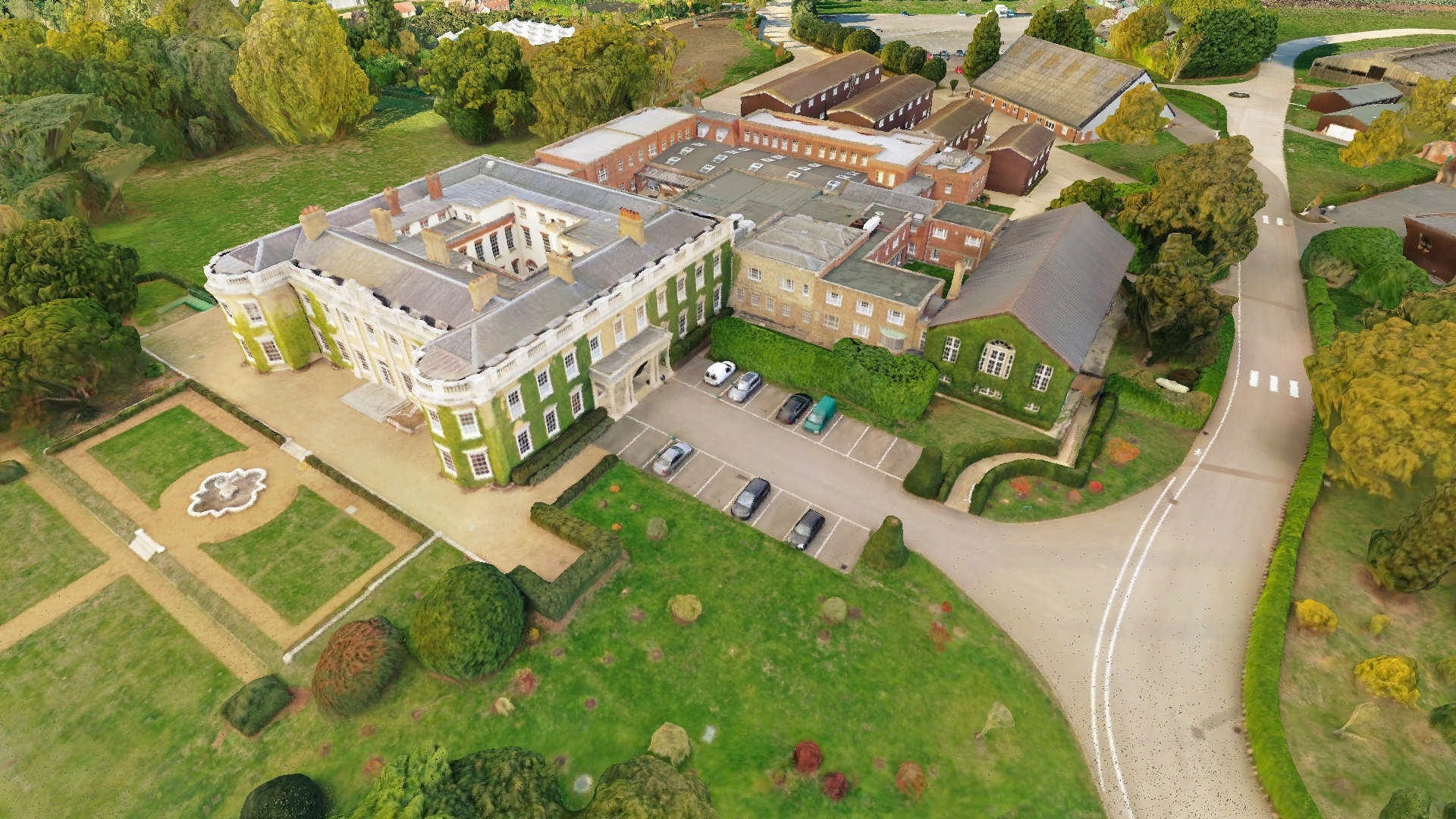
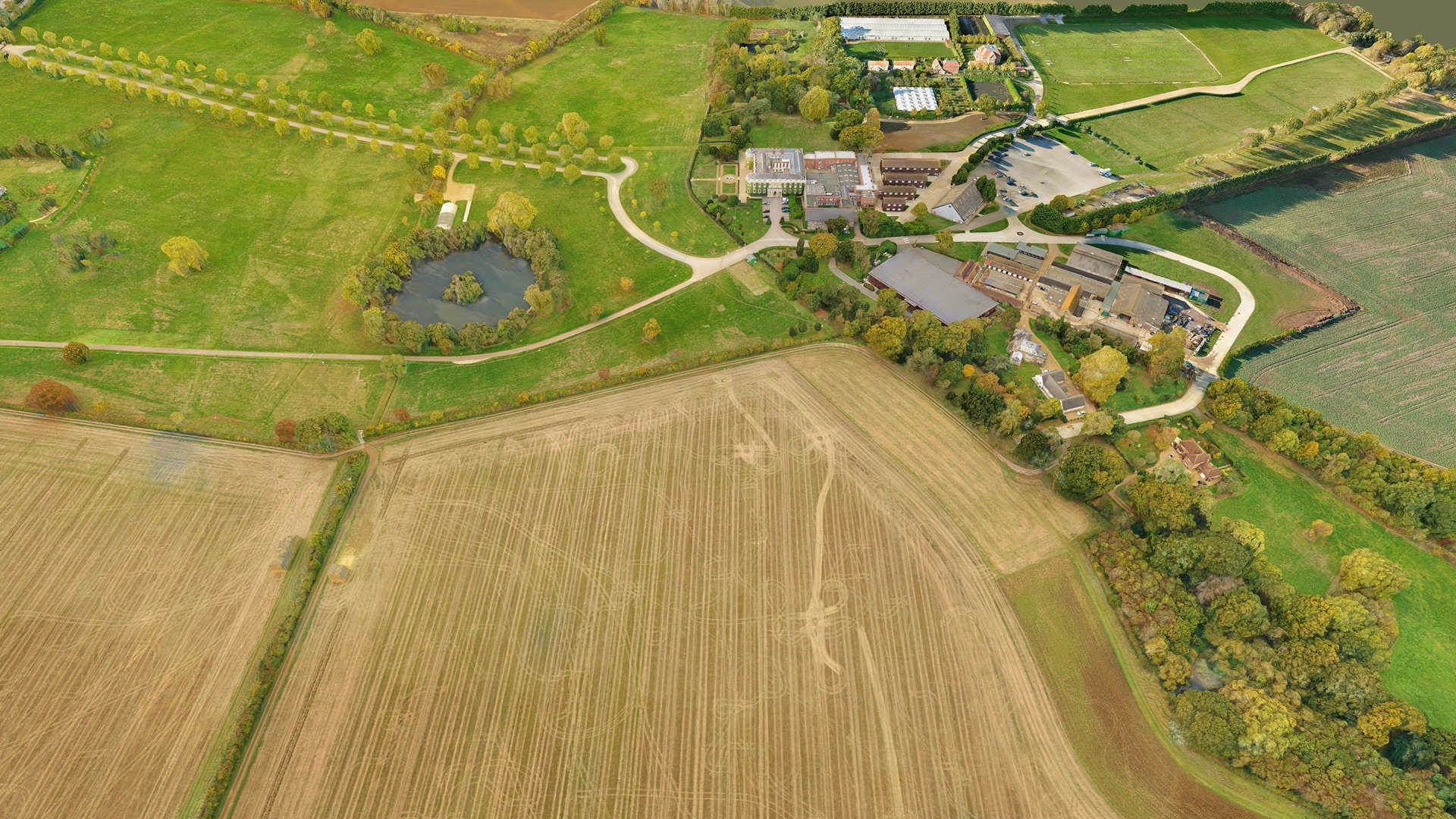
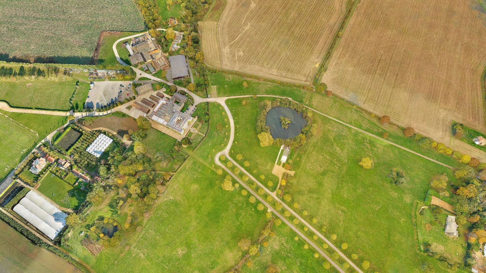
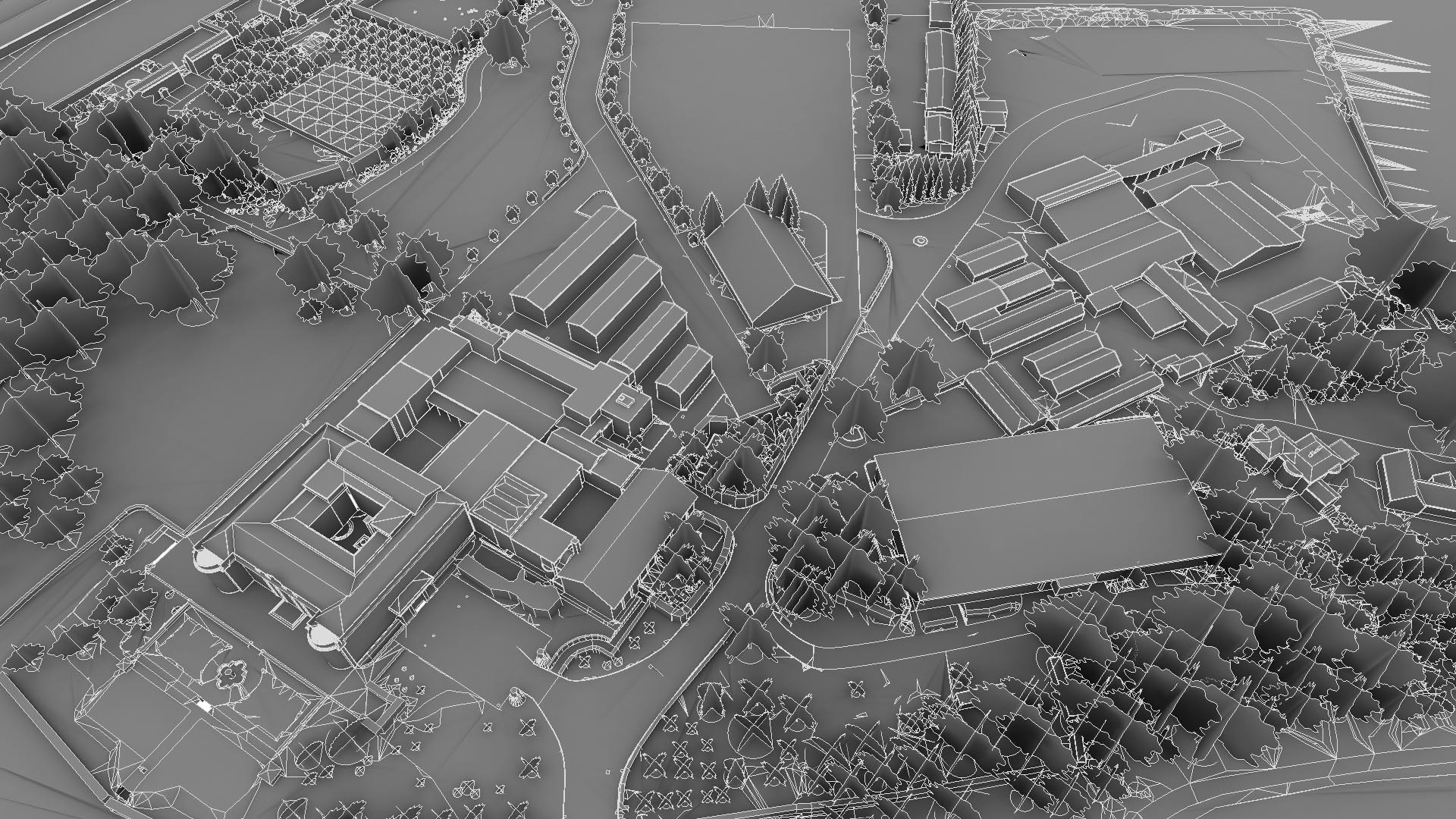
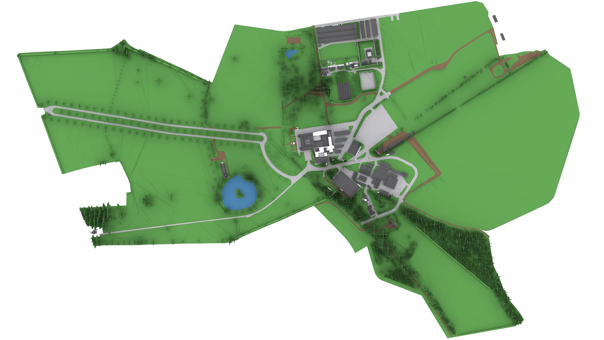
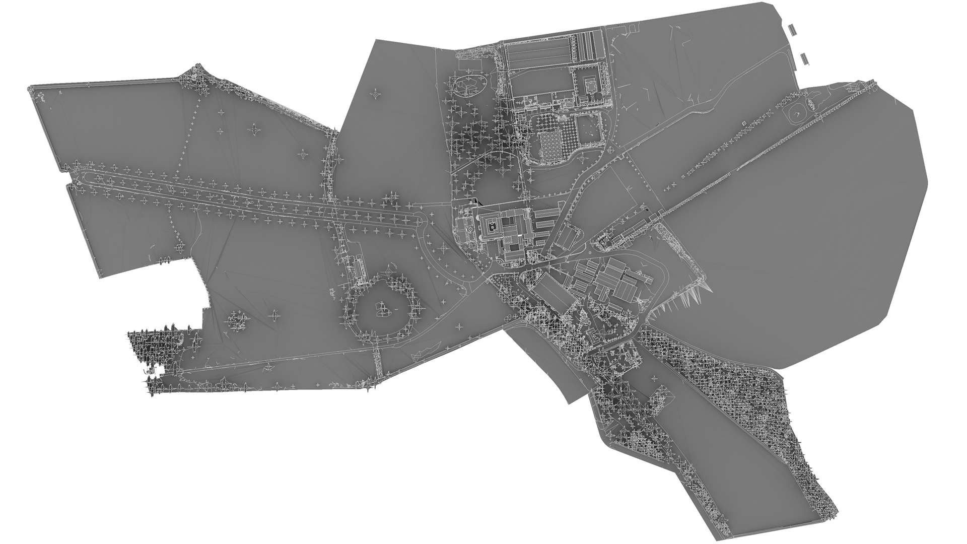
Drone Survey of larger rural estate
We were asked to provide a 2D Topo and BIM model. The topo was to be used for dual purpose, 1) planners 2) understanding the land for design/constructions. The site was fairly extensive and comprises an entire estate outside of London. There were several buildings, roads, a lake and wide fields.
A point cloud was obtained through a process of photogrammetry. It means that the point cloud in RGB colours was created from photos. We used drone DJI Mavic 2 Pro to take photos.
Categories: