LOCATION
Gniew, Poland
SURVEYING EQUIPMENT
Scanner Riegl VZ-400, Leica TCRA 1101 plus Total Station
TOTAL TIME SPENT
8 days two-person team, 45 days for data processing
FINAL PRODUCT
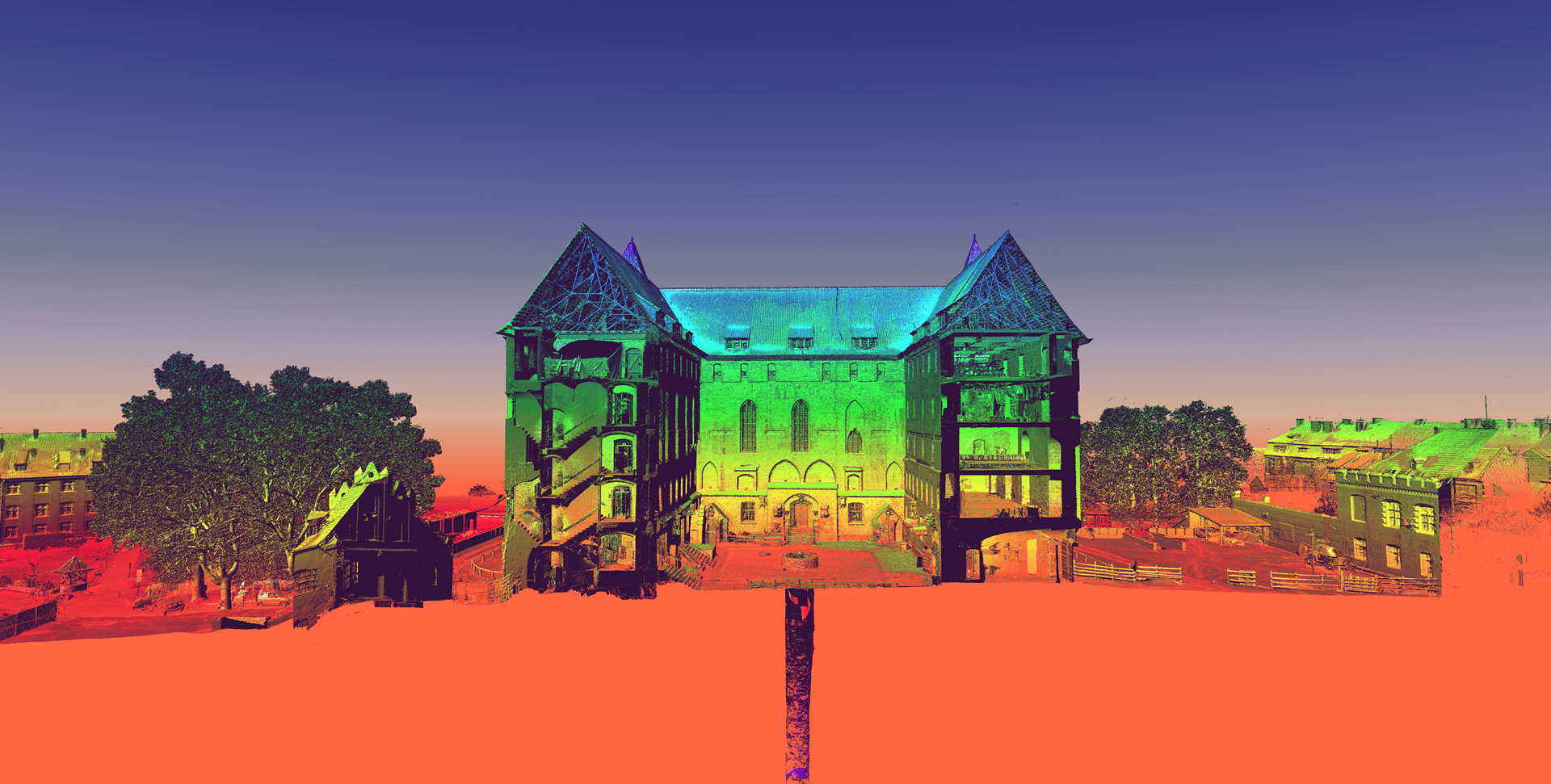
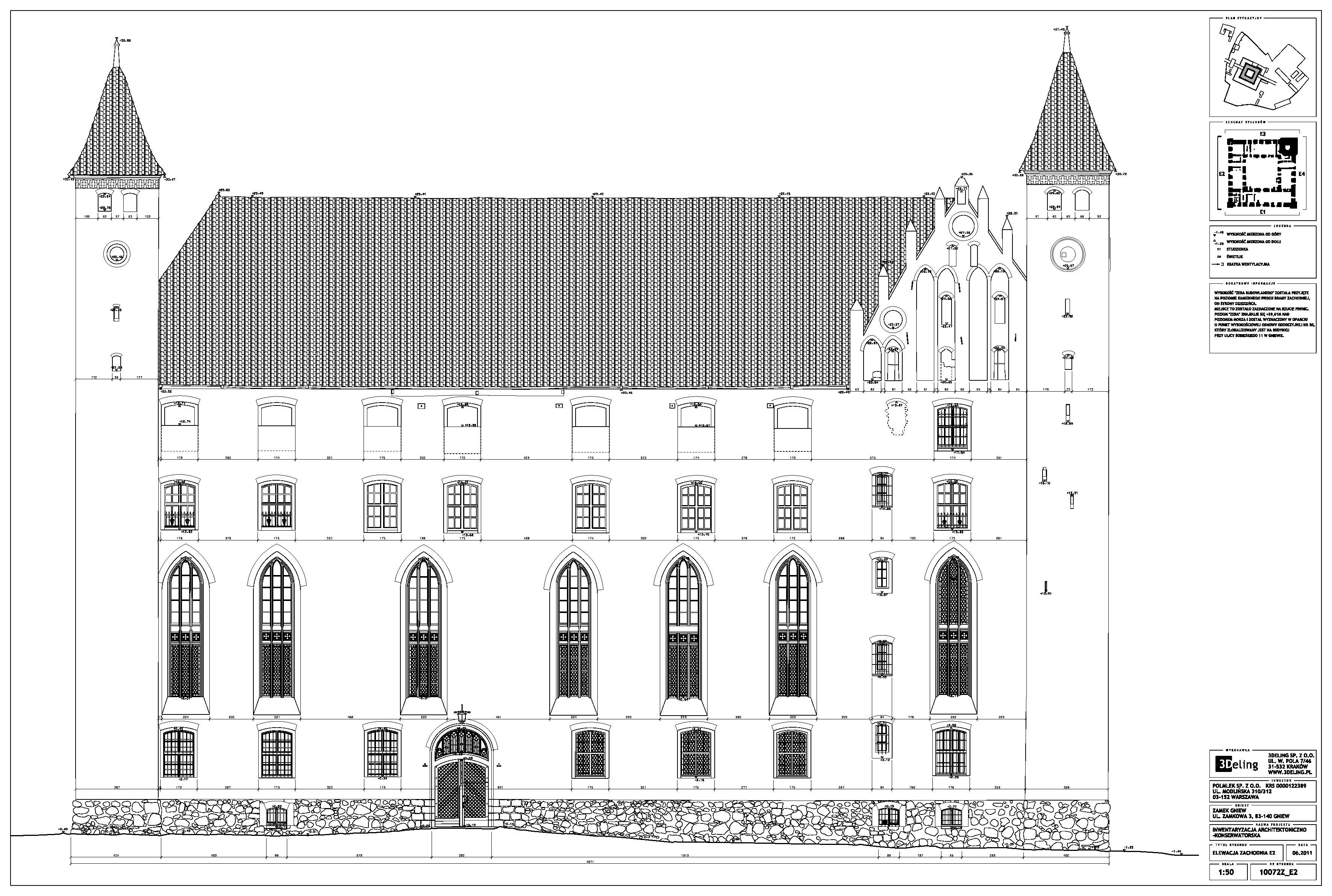
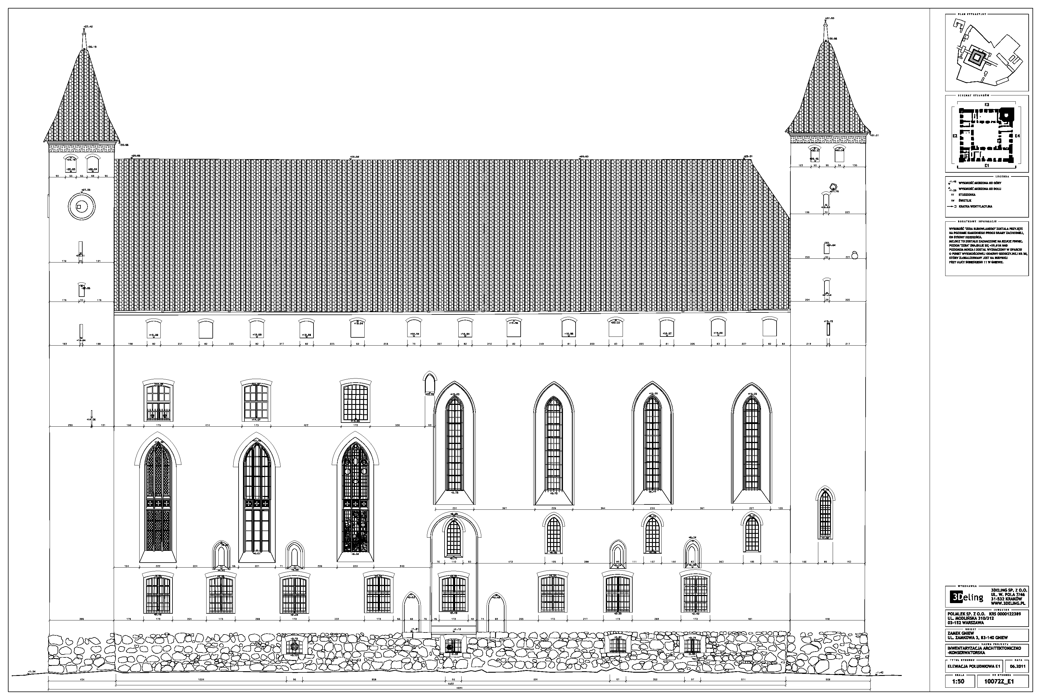
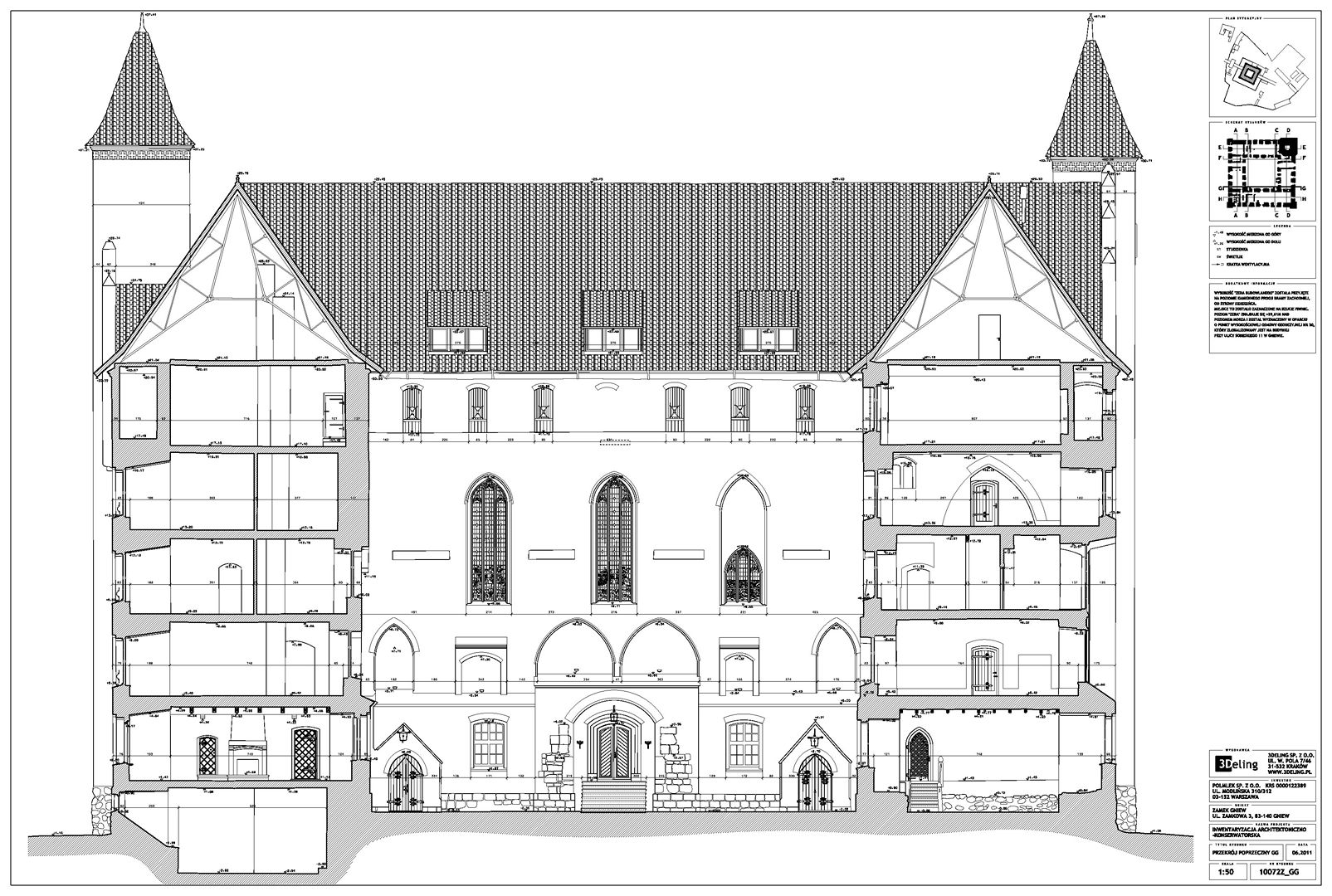
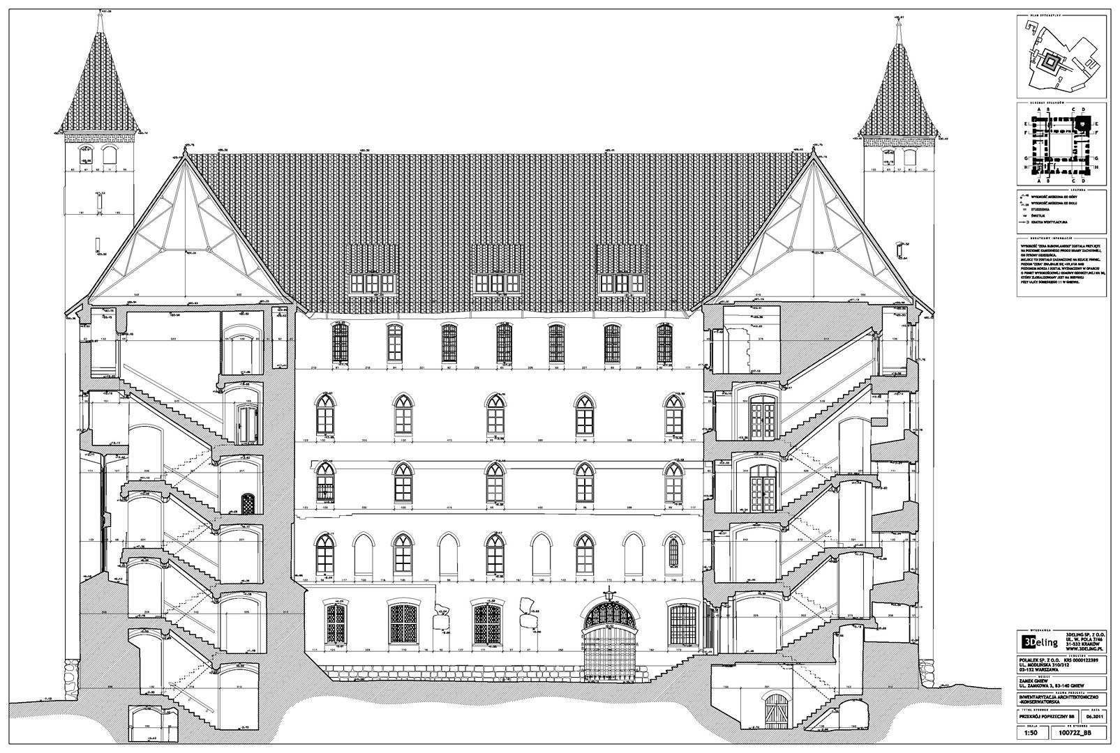
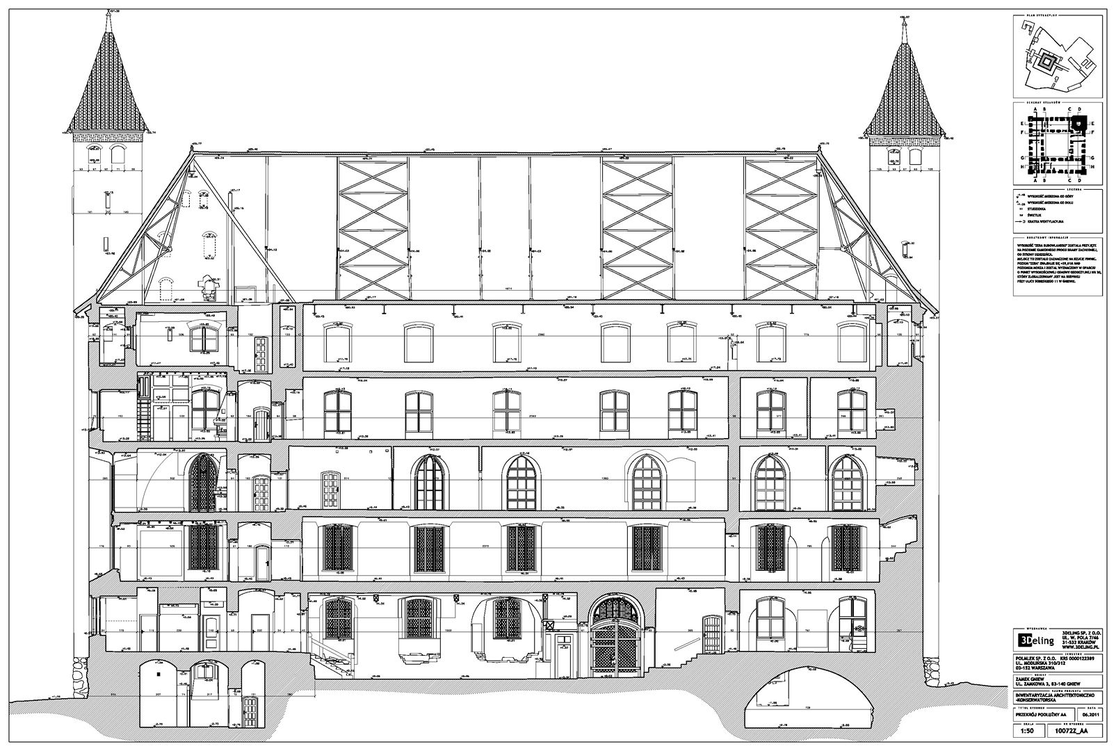
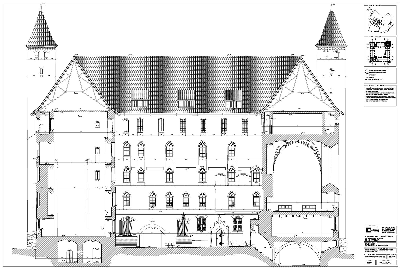
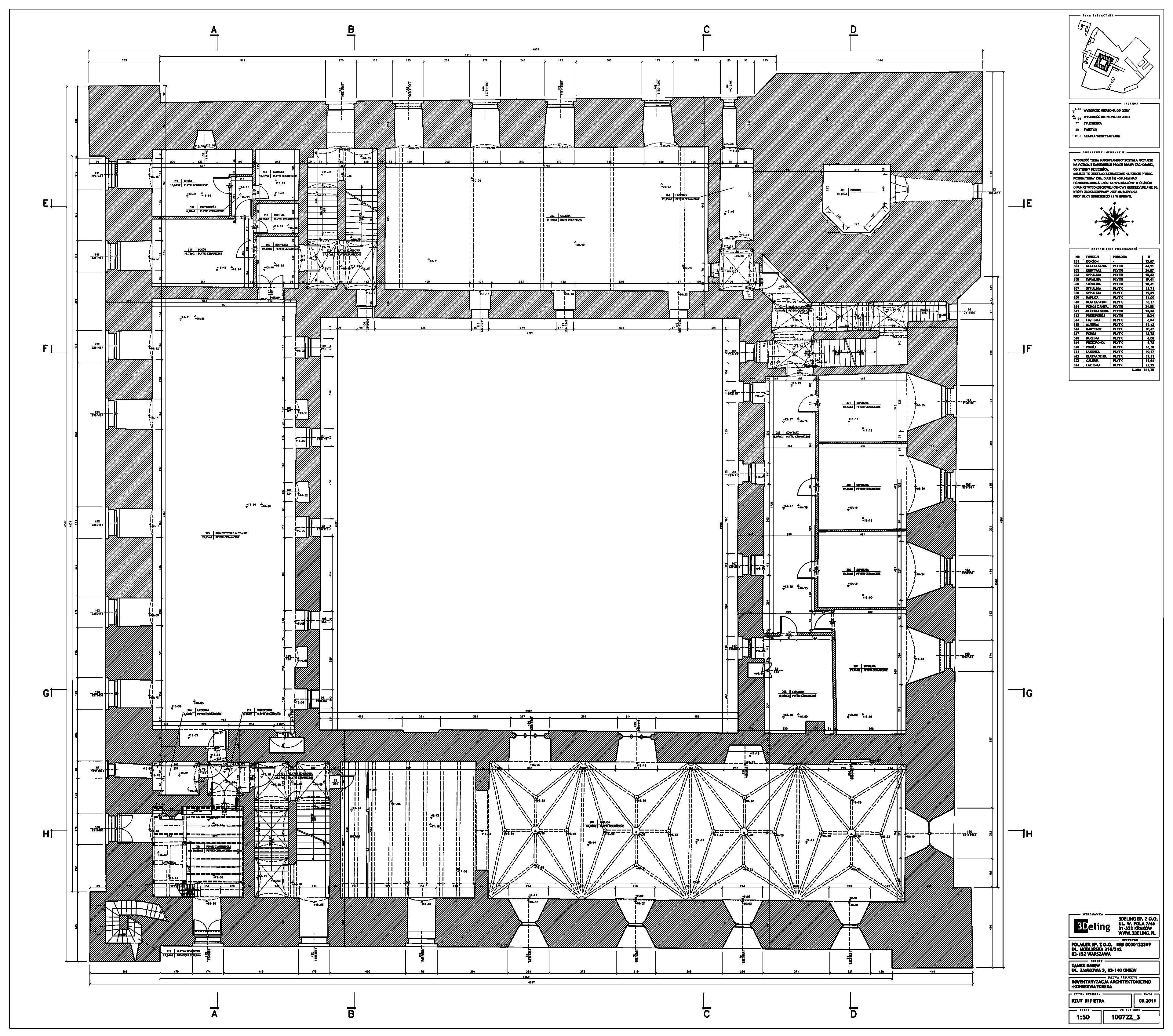
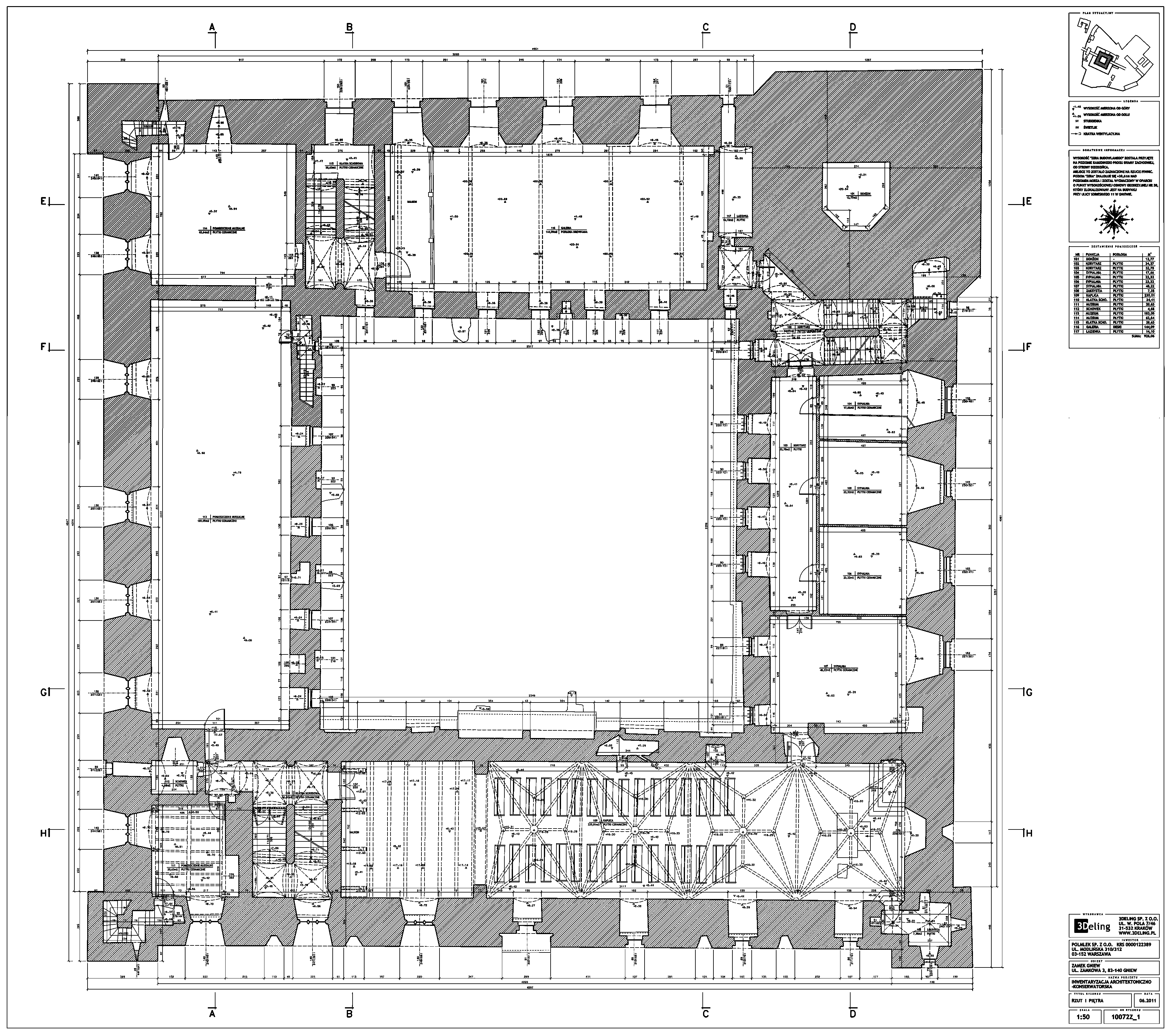
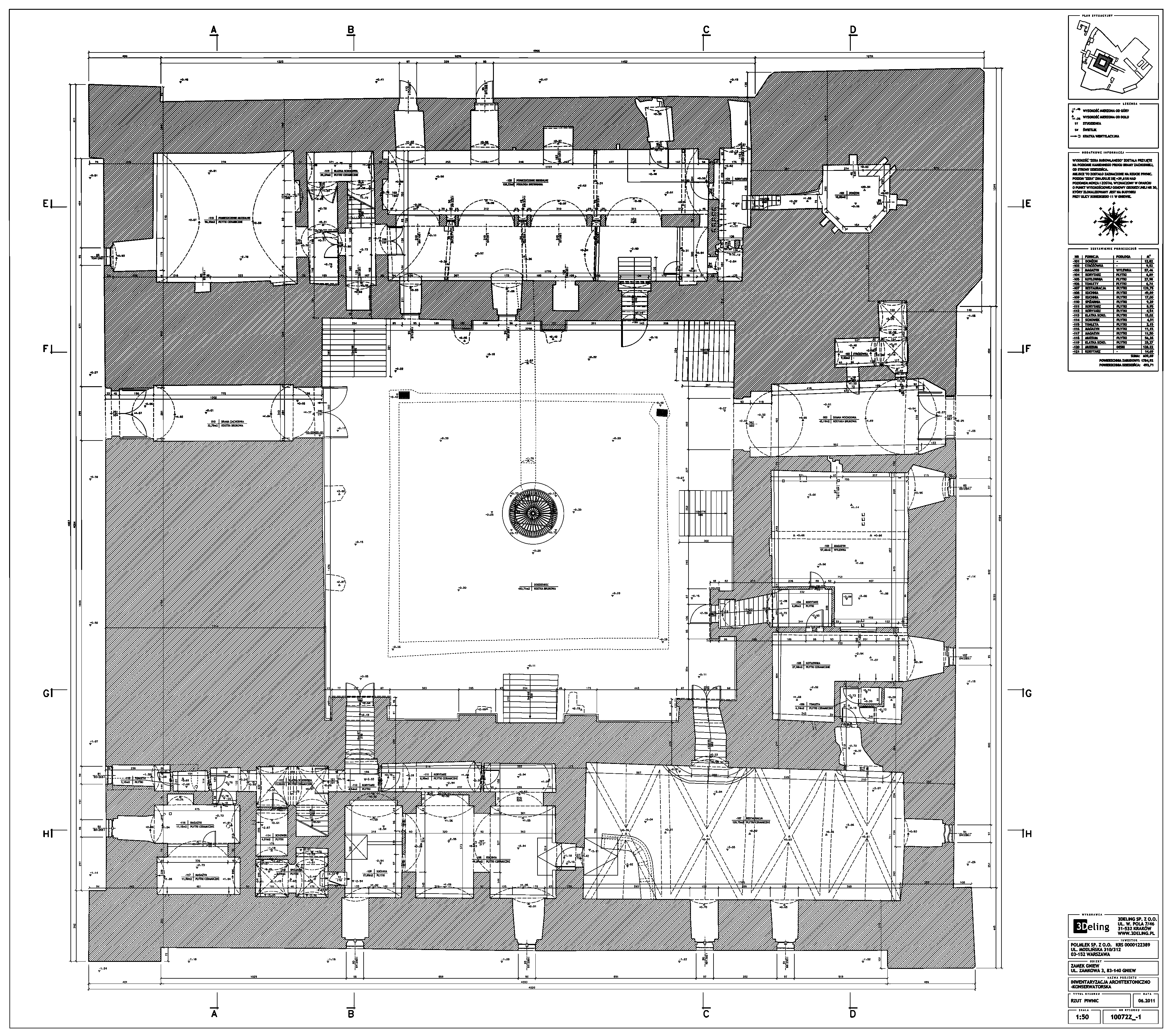
Registered point cloud, TruViews, Floor plans, Sections and elevation drawings.
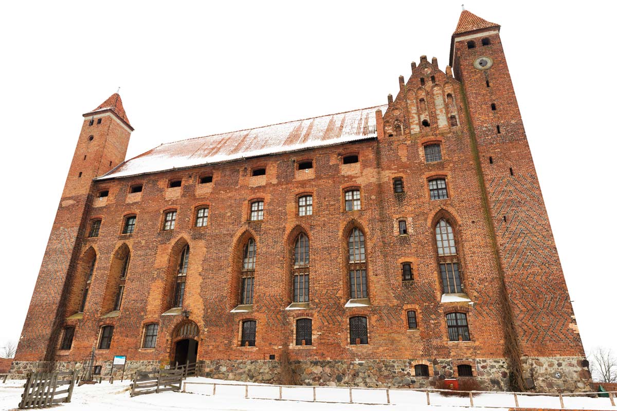
Laser scanning of Castle Gniew
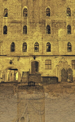
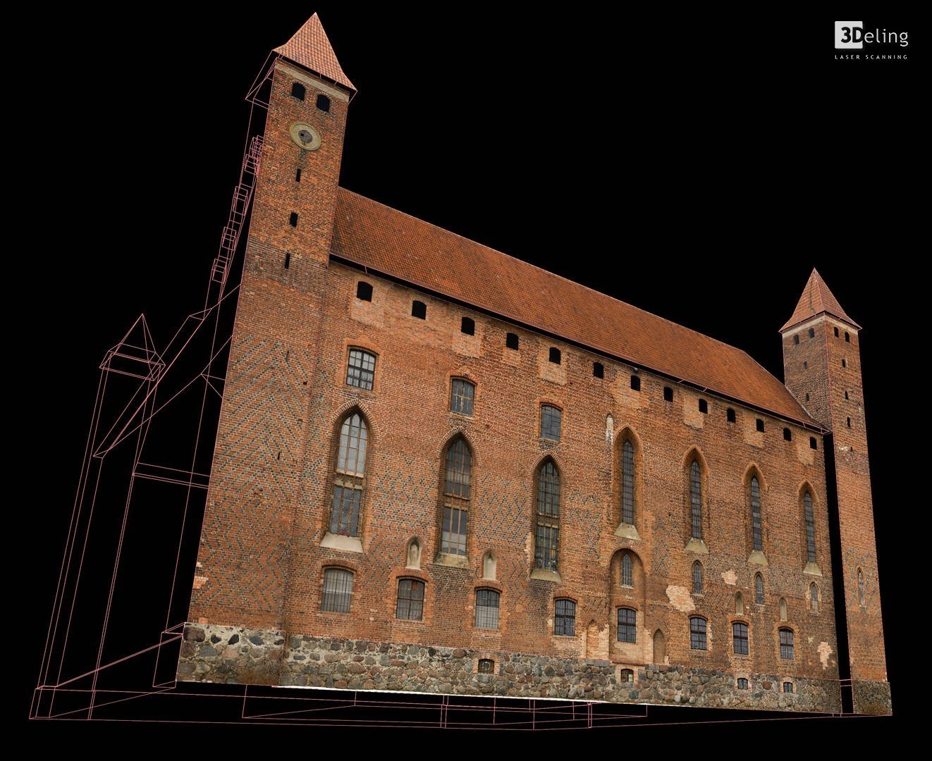
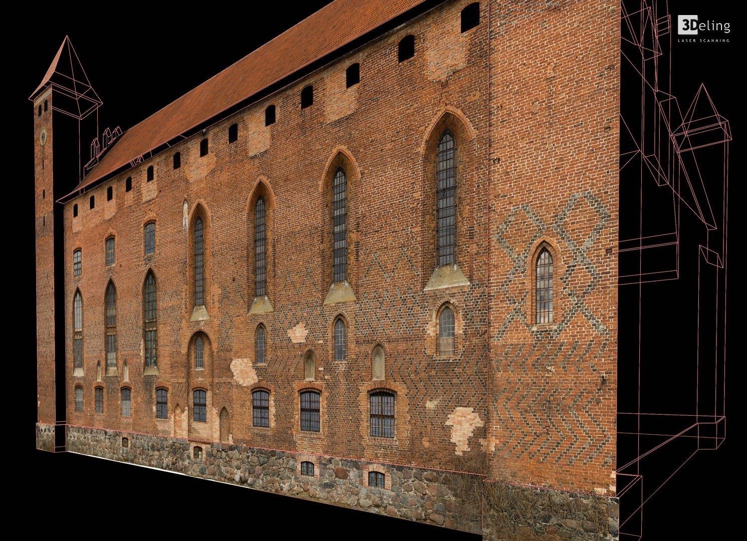
In early 2011 3Deling was awarded the contract to laser scan the medieval castle in Gniew, Poland. The buildings were comprehensively scanned from basement to attic. A total of over 800 individual scans were registered into a common coordinate system. The point cloud was then utilised to create a comprehensive 2D dataset for the castle including floor plans, section and elevation drawings.
Thanks to Laser scanning we were able to collect full spatial information of this vast historic building. The accuracy of the scanning was confirmed by control adjustment reports. The 2D drawings were created in Bentley MicroStation V8i with Leica CloudWorx plugin allowing the point cloud to be displayed in a CAD Environment.
Categories:

